Architecture · Manhattan
Lincoln Towers
The six towers that erased streets
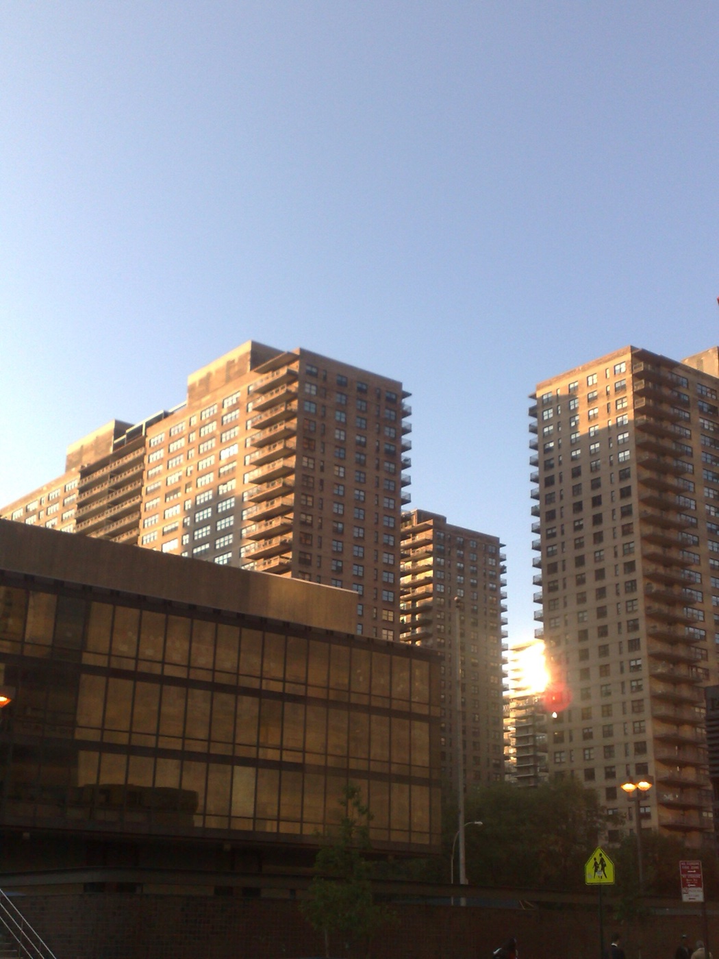
Why do six giant buildings here block off all the familiar Manhattan streets? What happened to the grid?
The story
Lincoln Towers was developed as part of a redevelopment plan for the Upper West Side of Manhattan, started in the mid-1950s by Robert Moses as part of his Lincoln Square Renewal Project. The area north and west of the proposed Lincoln Center cultural site, then part of the densely populated San Juan Hill neighborhood, was designated as blighted with plans for replacement by a group of towers in the park, a model of development pioneered and promoted by architect Le Corbusier. While architect I. M. Pei had proposed a mix of towers and lower-rise residences in 1957 at the start of the project, the costs of construction and the need to efficiently finance the developments led designers to a more utilitarian and economical plan, with six standardized 28-story buildings that would accommodate a total of 3,800 apartments. Built on a 20-acre (8.1 ha) superblock site, the design would eliminate the connection with the remainder of the Manhattan street grid. Each building is an independent condominium comprising the residences, the professional units, and the underground garage.
Source: Wikipedia — Lincoln Towers
Find it with City Ramble →Visiting
Wikidata coordinates; public viewing point needs field review, Manhattan. City Ramble stops can be found from public sidewalks and parks; buildings, churchyards and museums keep their own opening hours. Open in Google Maps.
Nearby
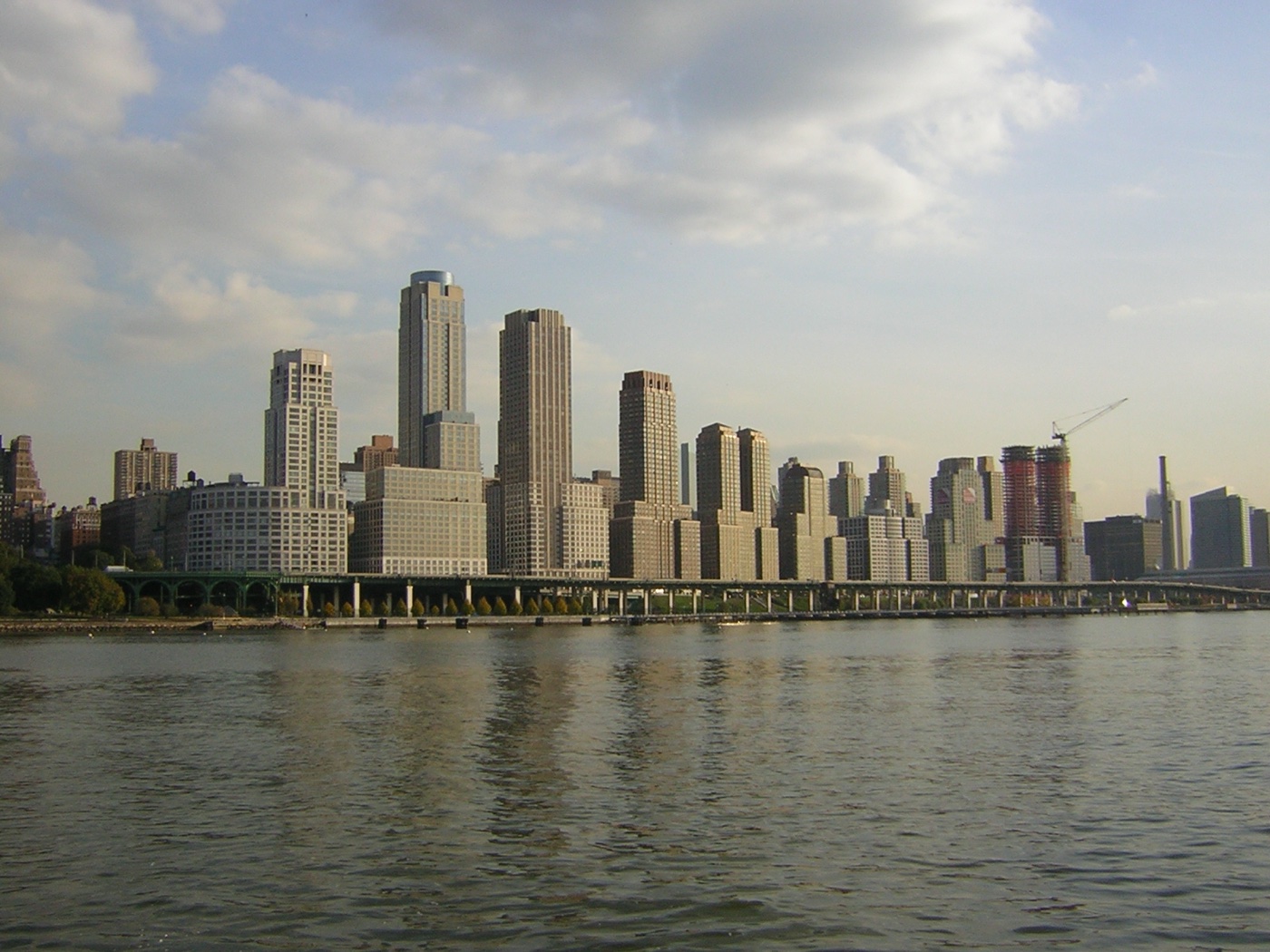 Riverside South, Manhattan
Architecture · about 3 min walk
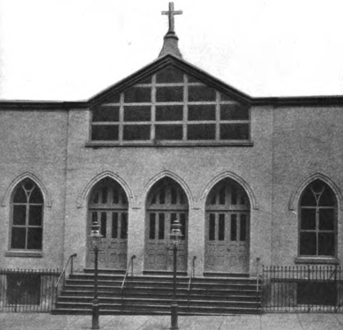 St. Matthew Church (New York City)
Architecture · about 5 min walk
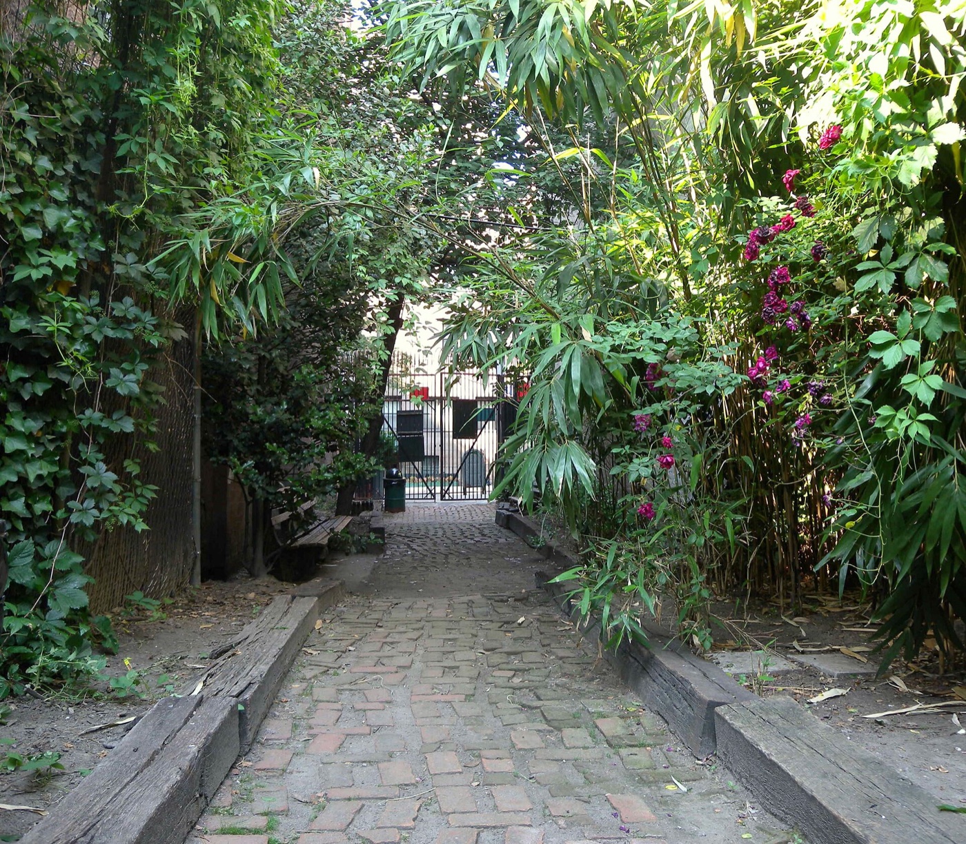 Septuagesimo Uno
Nature · about 5 min walk
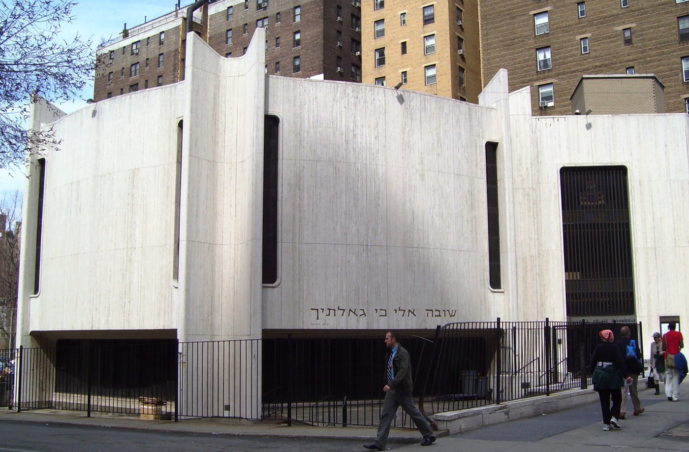 Lincoln Square Synagogue
Architecture · about 5 min walk
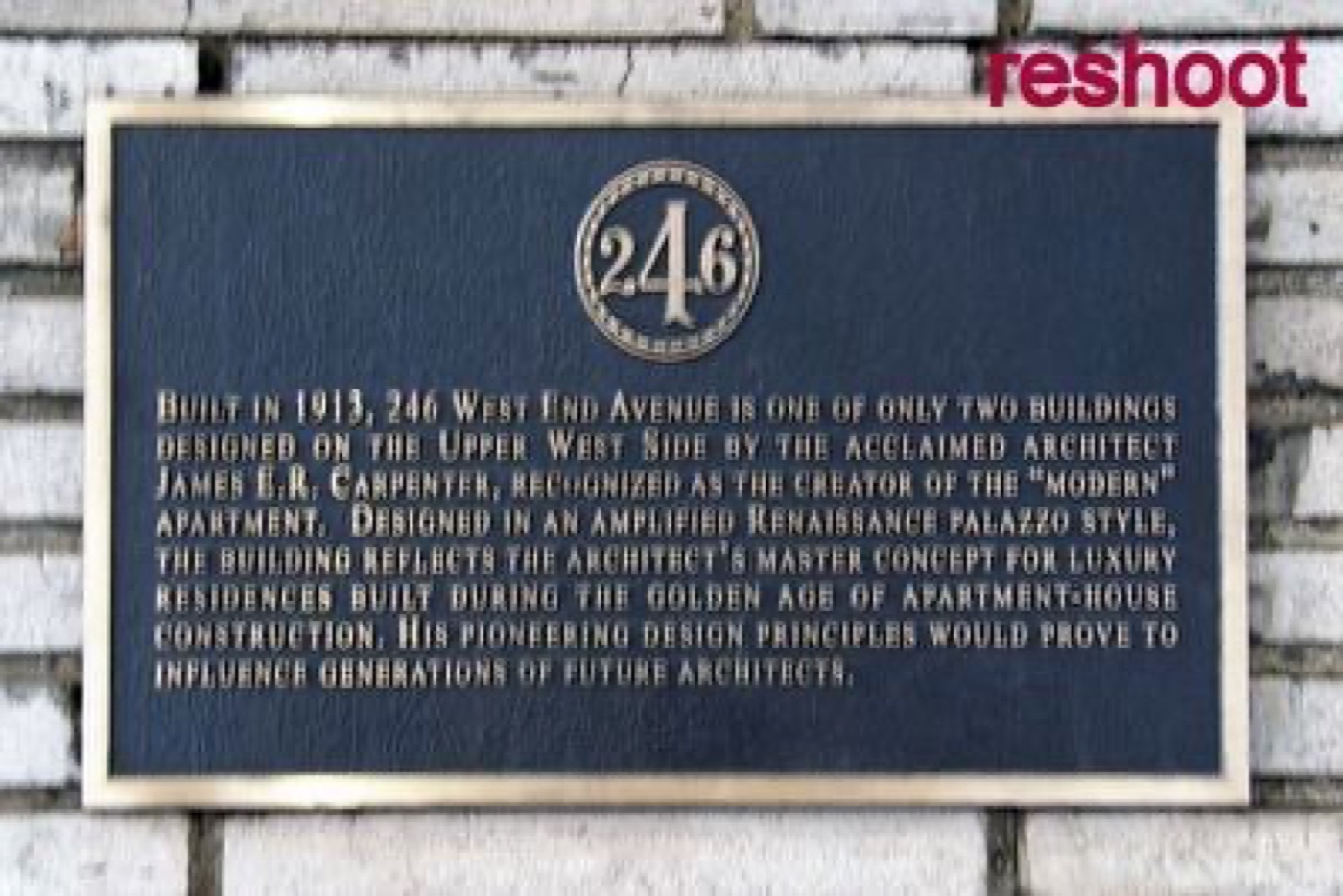 246 West End Avenue
Architecture · about 5 min walk
 Samuel N. Bennerson 2nd Playground
Nature · about 6 min walk