Nature · Manhattan
Jackson Square Park
Footpaths that shaped a park
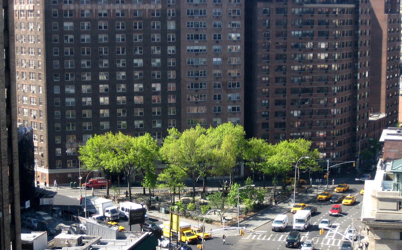
Which old footpath near the river aligns with the solar equinox and became Gansevoort Street by the 18th century?
The story
One footpath led up from the riverbank trading station called Sapohanikan and was both largely perpendicular to the shore and aligned closely to the solar equinox of spring and fall. It would become what we today call Gansevoort Street. Its parallel offspring, Horatio Street, forms the southern border of the park. The other footpath came up from the south and would become what we today call Greenwich Avenue, which forms the east side of the park. By the late 18th century the footpaths had evolved into roads, with connecting roads emerging to the north.
Source: Wikipedia — Jackson Square Park
Find it with City Ramble →Visiting
Wikidata coordinates; public viewing point needs field review, Manhattan. City Ramble stops can be found from public sidewalks and parks; buildings, churchyards and museums keep their own opening hours. Open in Google Maps.
Nearby
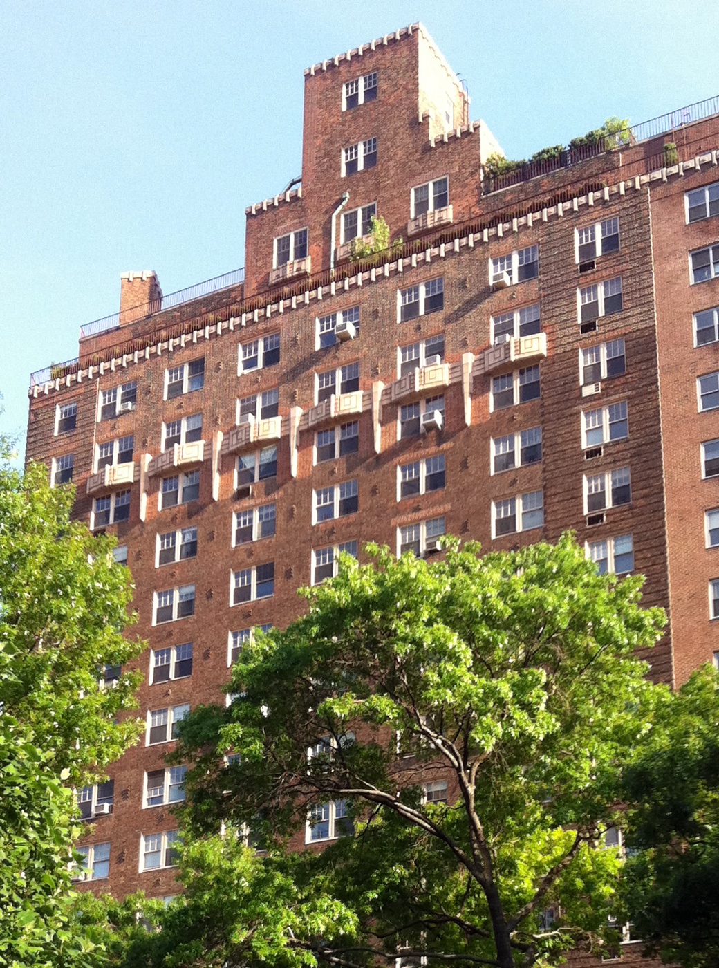 2 Horatio Street
Architecture · about 1 min walk
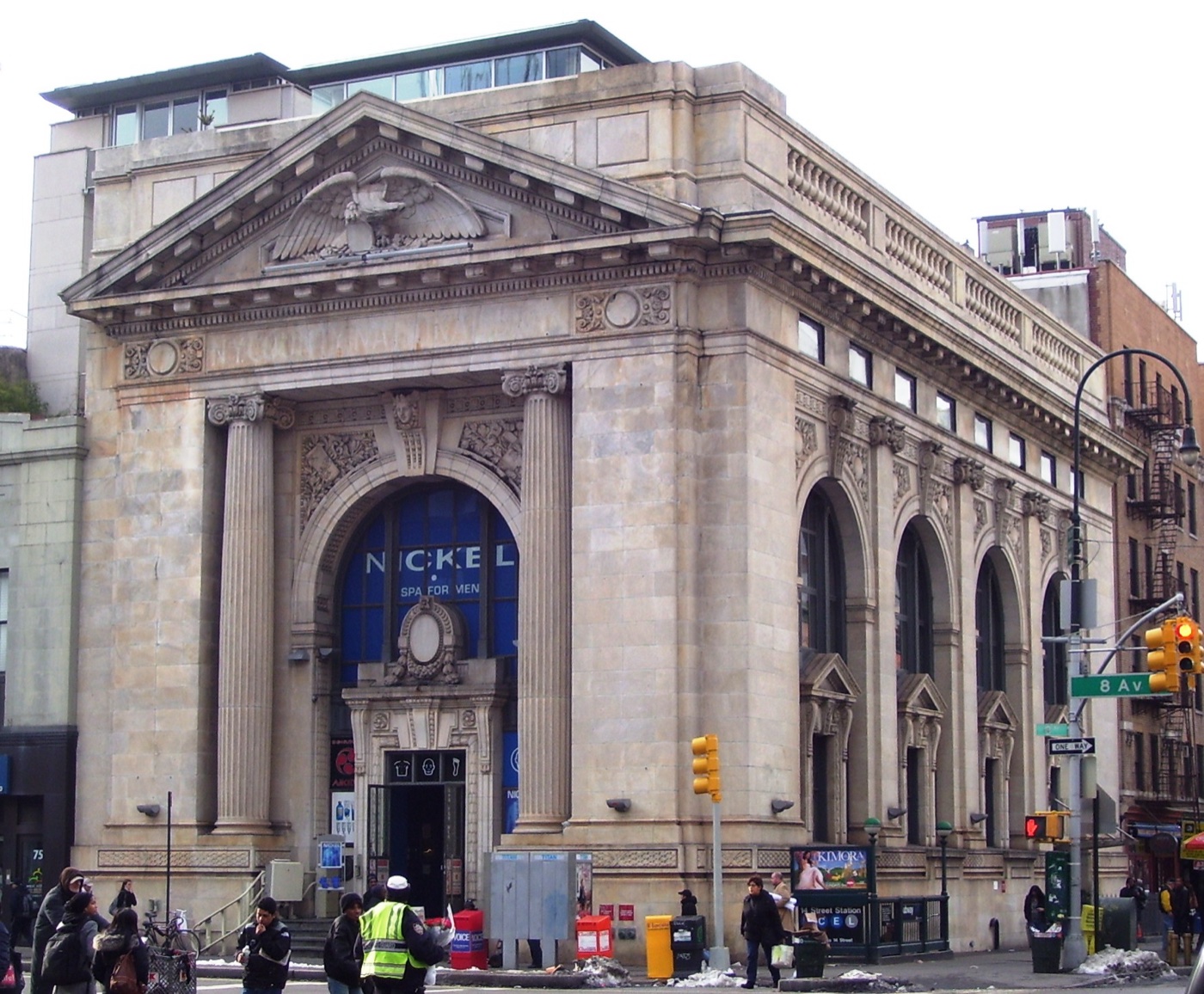 New York County National Bank Building
Architecture · about 1 min walk
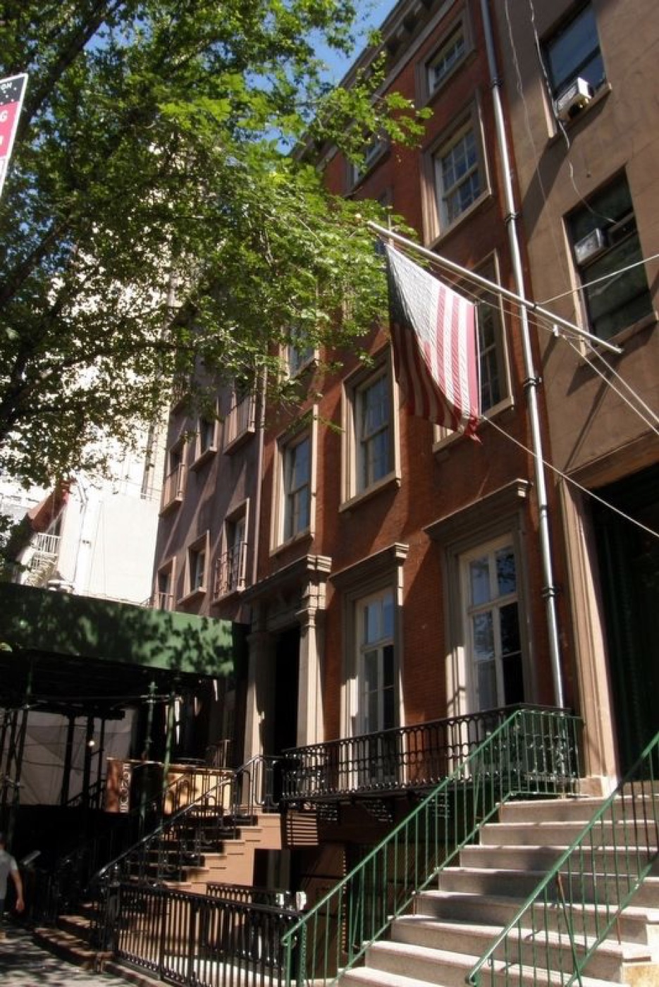 Andrew Norwood House
Architecture · about 2 min walk
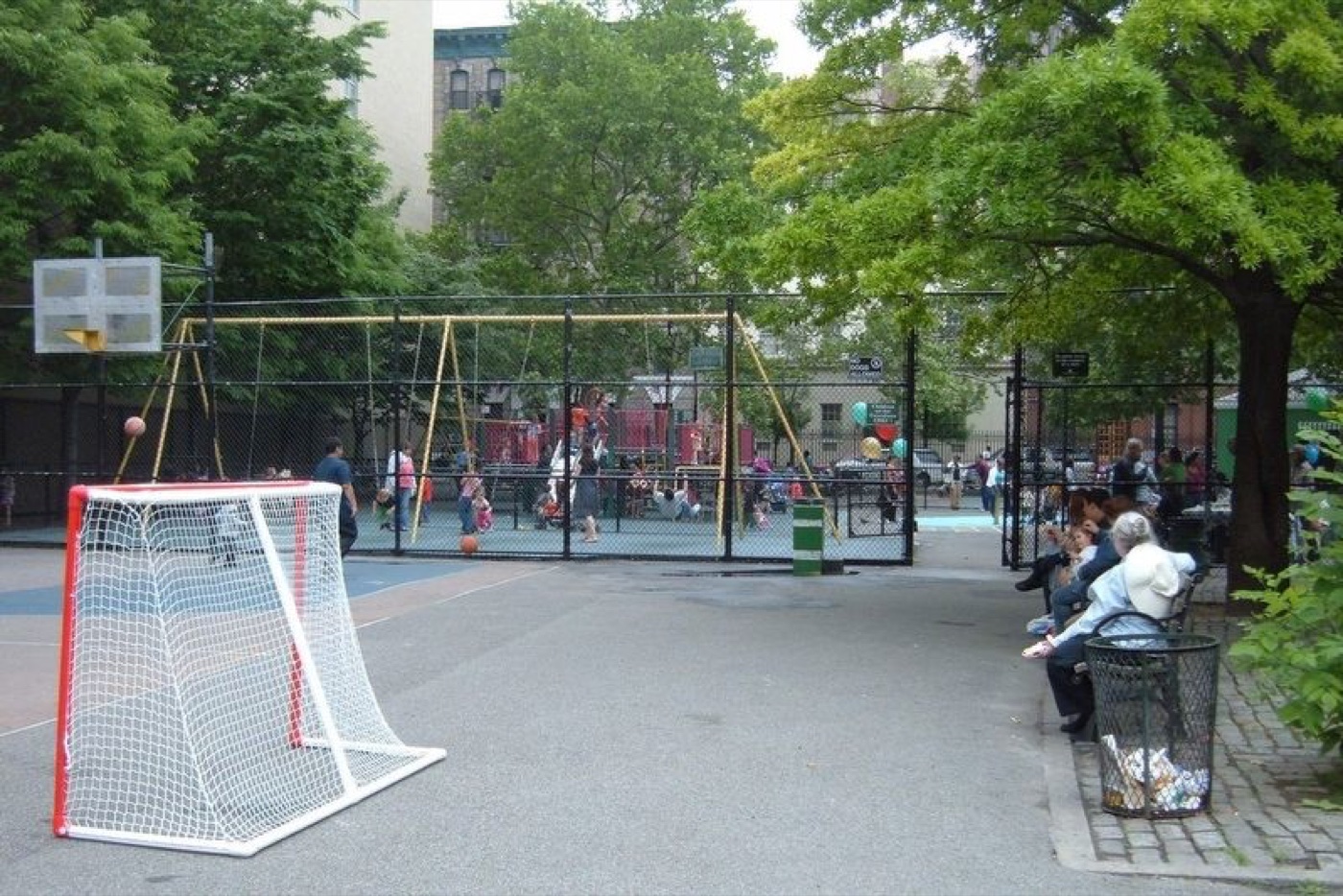 Corporal John A. Seravalli Playground
Nature · about 2 min walk
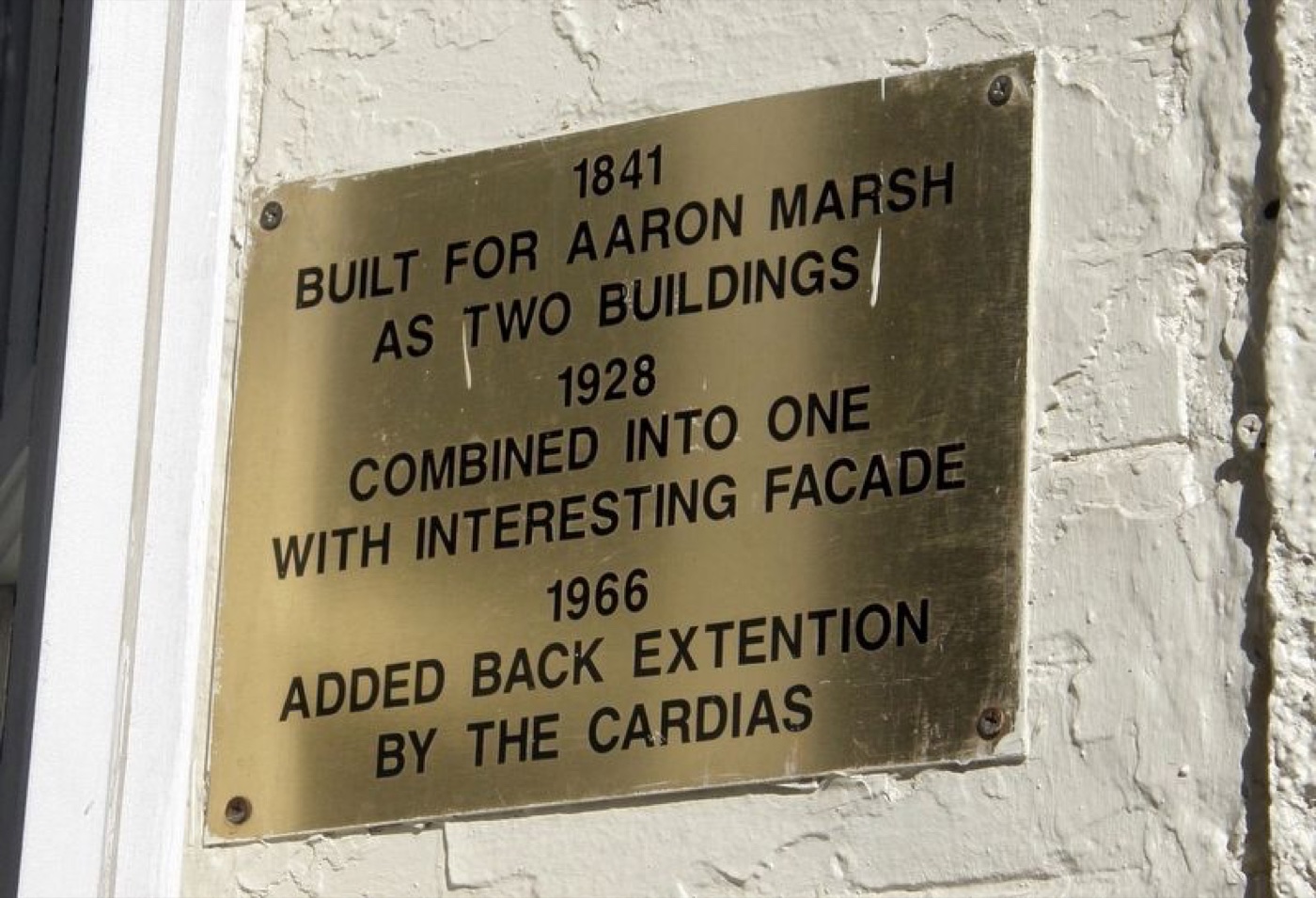 The Beatrice Inn
Architecture · about 3 min walk
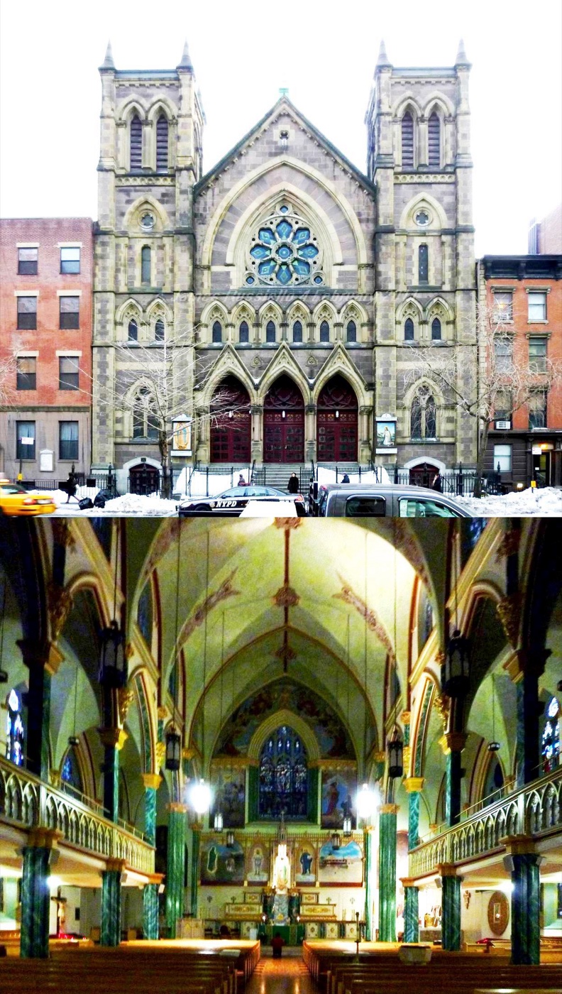 Our Lady of Guadalupe at St. Bernard Church (Manhattan)
Architecture · about 3 min walk