History · Manhattan
Fort Fish
Fort Fish’s lofty secret
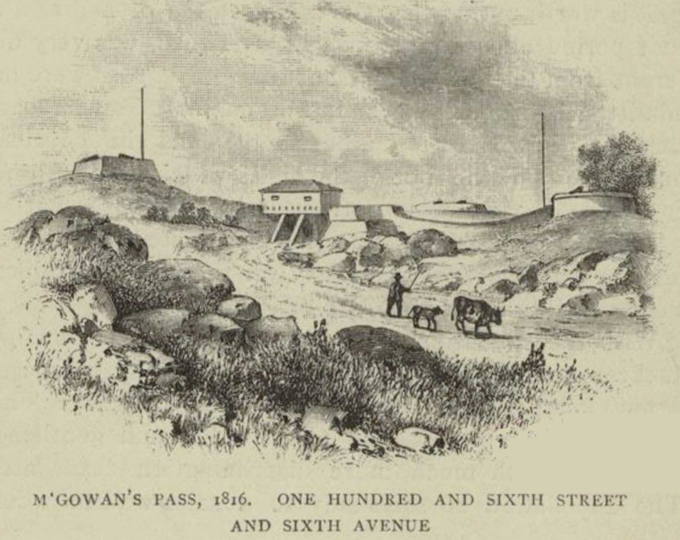
What makes Fort Fish’s spot stand above others in Central Park’s northeast quadrant? Discover this high point’s distinction.
The story
The fort was located on East Drive near 105th Street, directly across from the Central Park Conservancy's composting area, which was once a girls' school. The fort was named for Nicholas Fish, chairman of New York's Committee of Defense during the War of 1812. Fort Fish was the southern extremity of a complex of forts built along a portion of the Old Post Road, or Kingsbridge Road (now East Drive in Central Park), a region formerly known as McGowan's Pass. According to a 1905 local history, the Fort Fish site is "at an elevation of 89 feet above tide-water," making it the highest point in the northeast quadrant of Central Park.
Source: Wikipedia — Fort Fish
Find it with City Ramble →Visiting
Wikidata coordinates; public viewing point needs field review, Manhattan. City Ramble stops can be found from public sidewalks and parks; buildings, churchyards and museums keep their own opening hours. Open in Google Maps.
Nearby
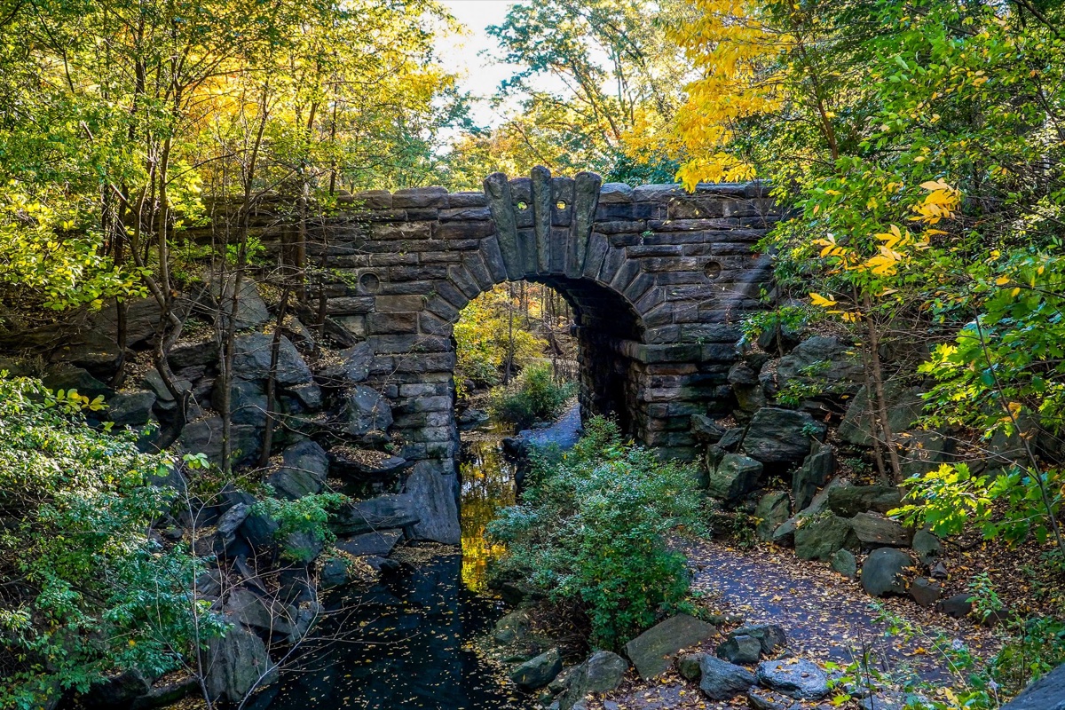 The Loch waterfalls
Nature · about 1 min walk
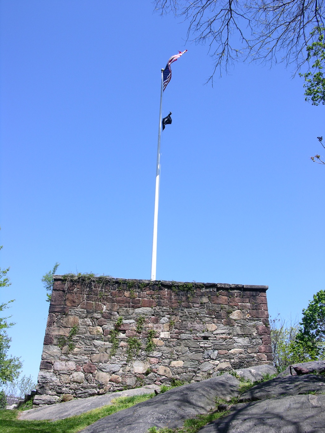 Blockhouse No. 1
History · about 6 min walk
 West Side Movers
History · about 6 min walk
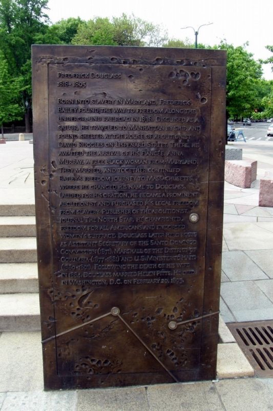 Frederick Douglass
History · about 7 min walk
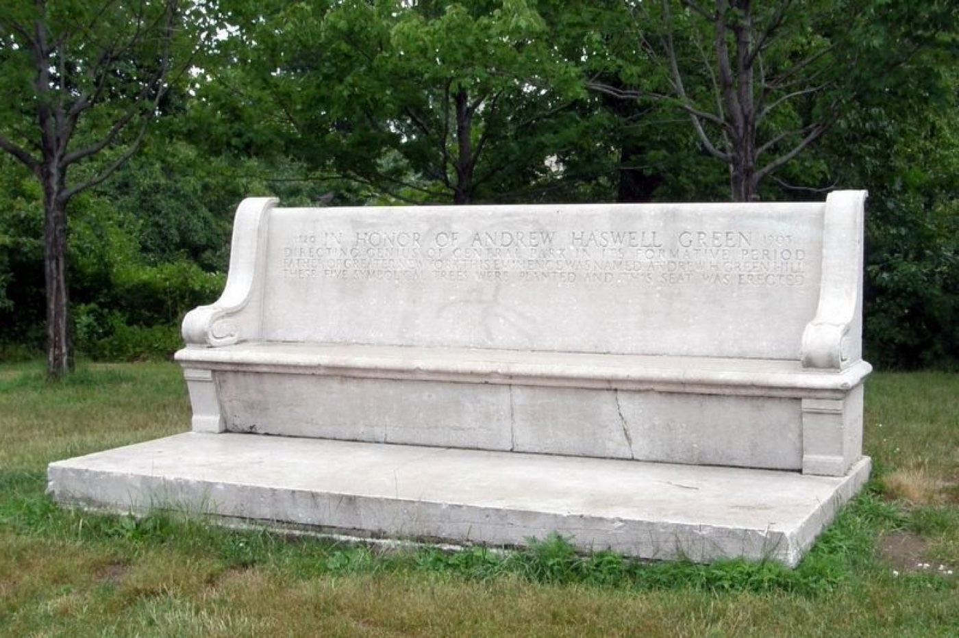 Andrew Haswell Green Memorial
Nature · about 9 min walk
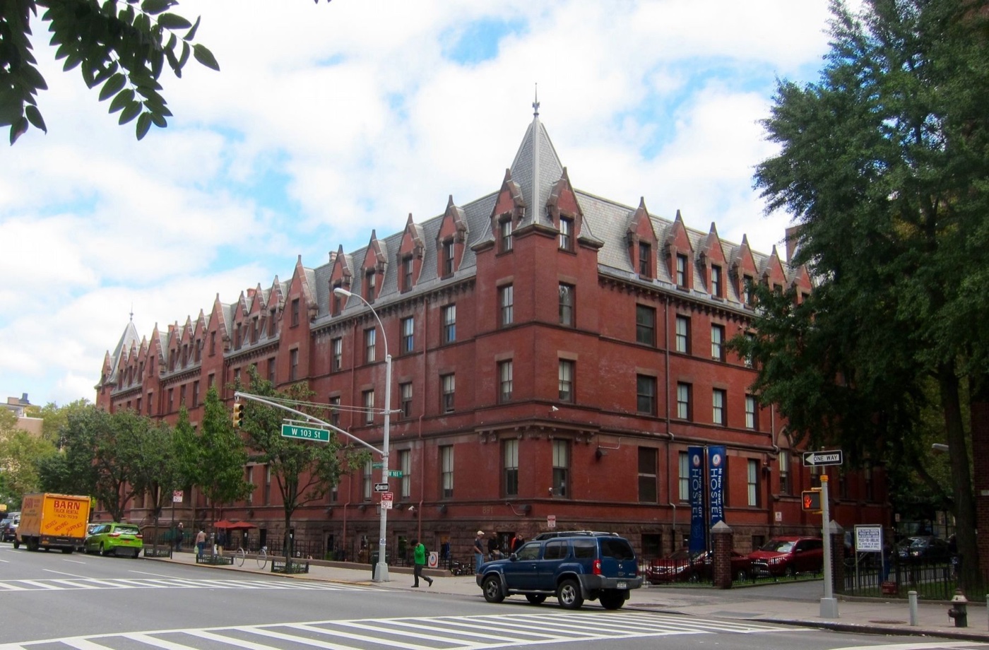 Association Residence for Respectable Aged Indigent Females
Architecture · about 10 min walk