Nature · Manhattan
Riverside Park (Manhattan)
The River Hidden by Rails
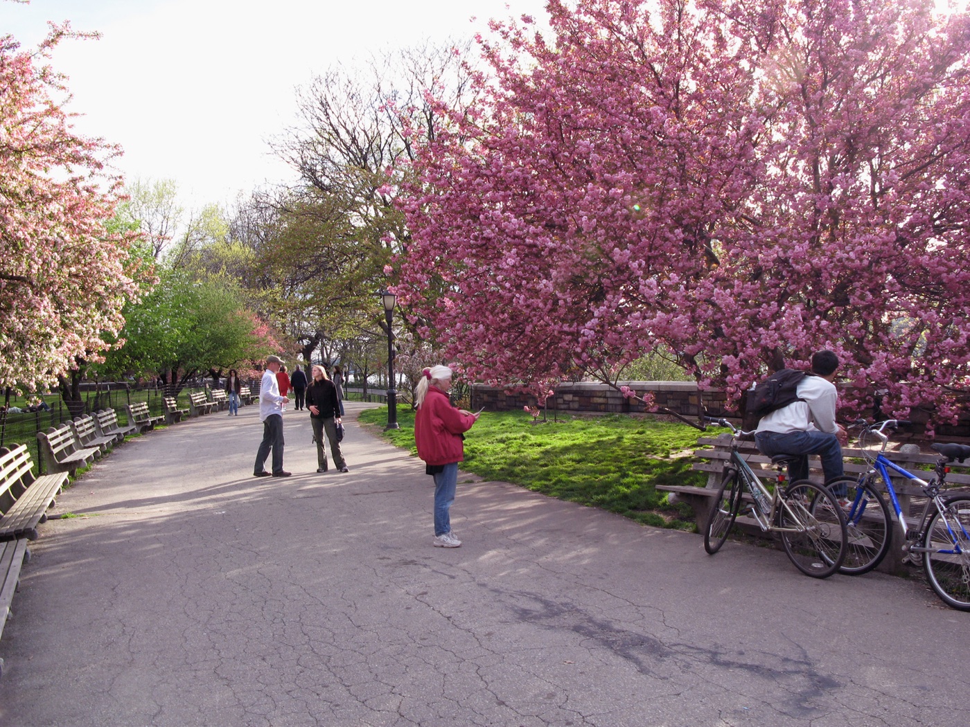
How did a railroad track manage to block park visitors from the river until the 1930s? Explore the secret beneath Riverside Park.
The story
When the park was first laid out, the right-of-way of the New York Central Railroad's West Side Line blocked access to the river. In the 1930s, under parks commissioner Robert Moses's West Side improvement project, the railroad track was covered with an esplanade and several recreational facilities. Riverside Park was established by land condemnation in 1872 and was developed concurrently with Riverside Drive. The park measures 4 miles (6.4 km) long and 100 to 500 feet (30 to 152 m) wide, running between the Hudson River and Henry Hudson Parkway to the west and the serpentine Riverside Drive to the east, from 72nd to 158th Street.
Source: Wikipedia — Riverside Park (Manhattan)
Find it with City Ramble →Visiting
Wikidata coordinates; public viewing point needs field review, Manhattan. City Ramble stops can be found from public sidewalks and parks; buildings, churchyards and museums keep their own opening hours. Open in Google Maps.
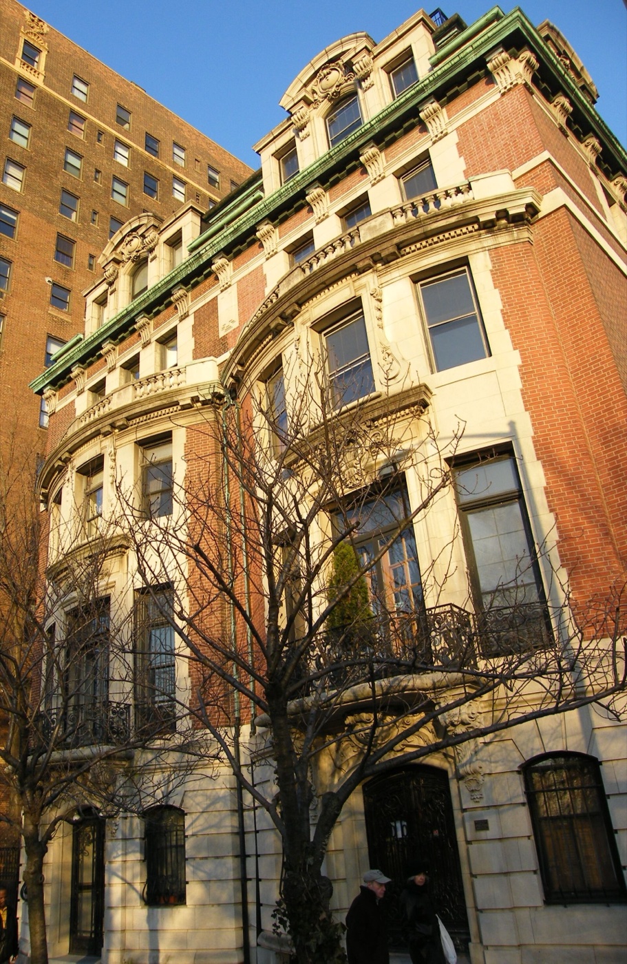 352 and 353 Riverside Drive
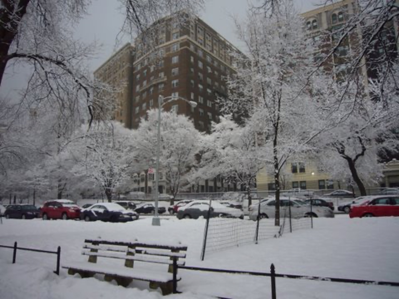 370 Riverside Drive
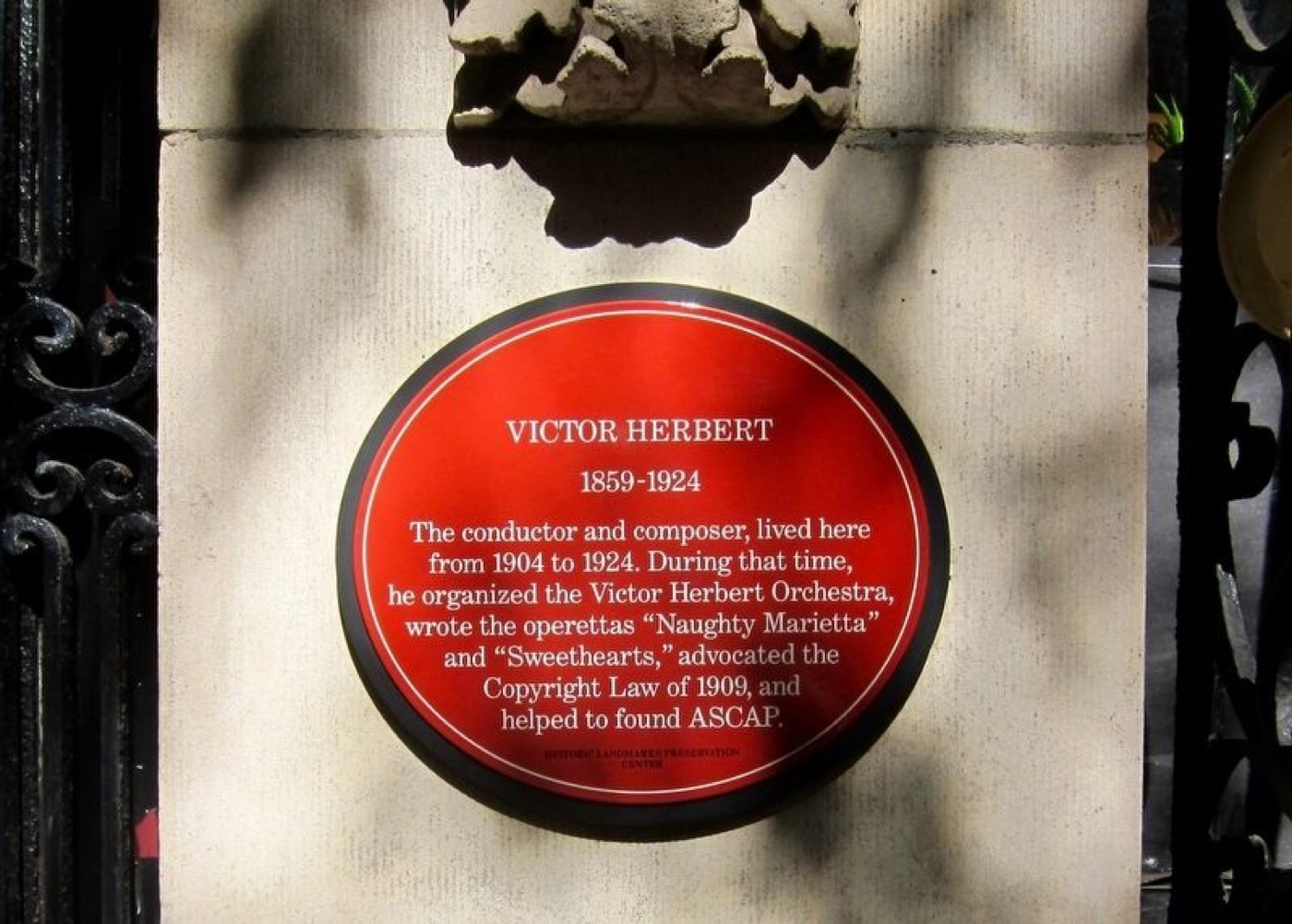 Victor Herbert
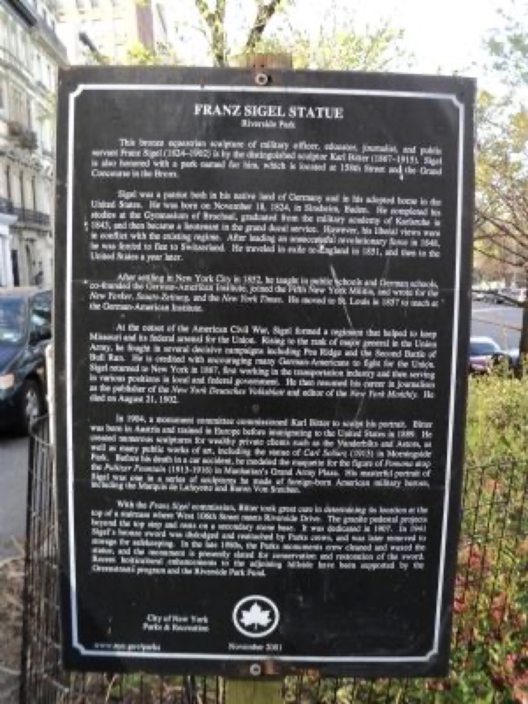 Franz Sigel Statue
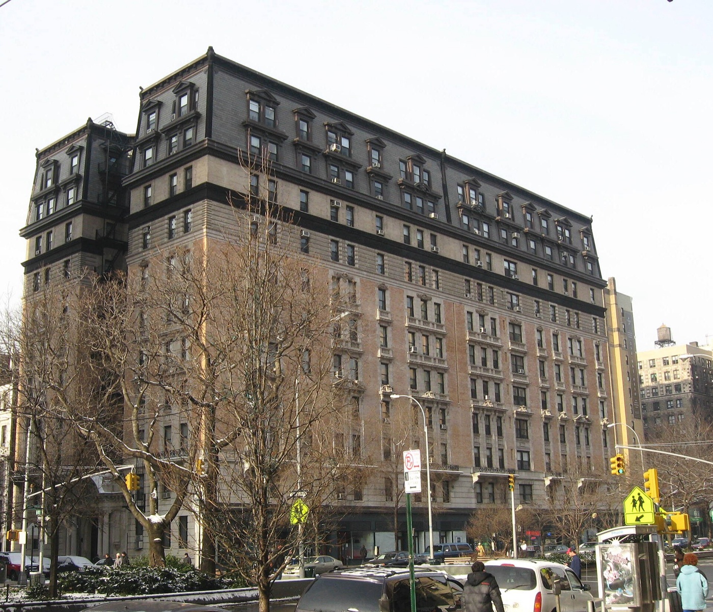 The Manhasset
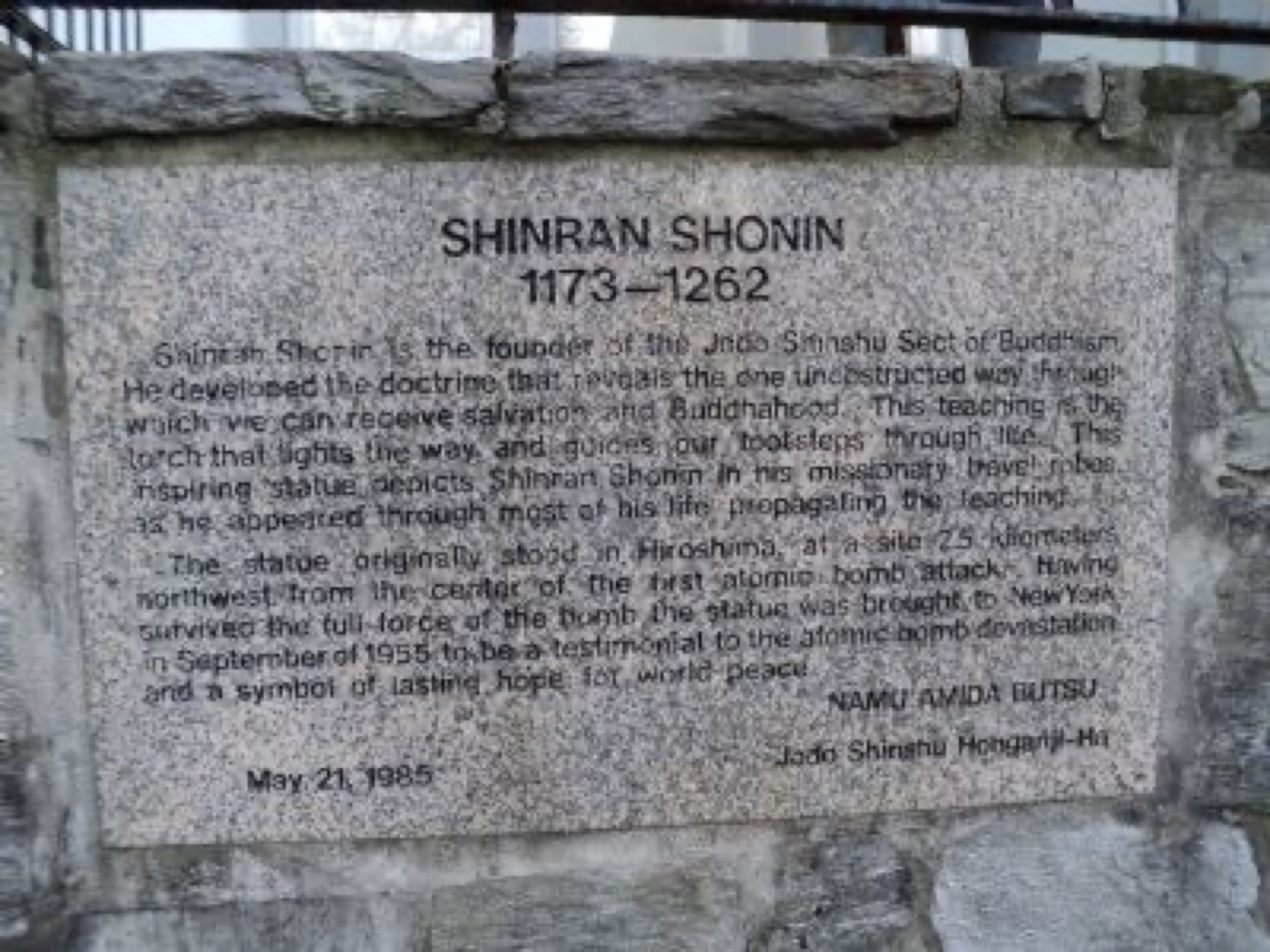 Shinran Shonin