History · Manhattan
Elevated Public Highway
The 1939 Elevated Public Highway Marvel
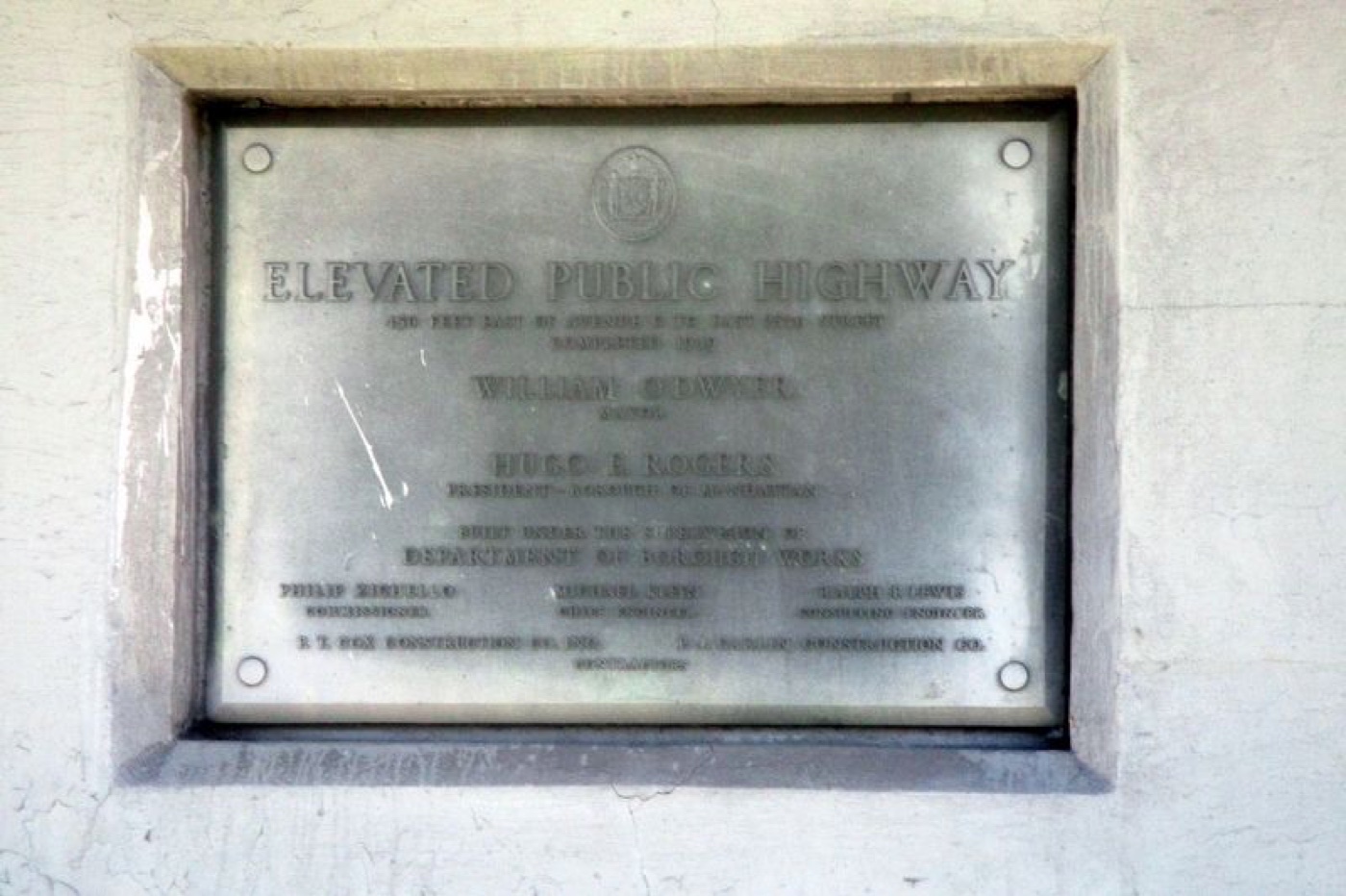
Explore the stretch of the Elevated Public Highway built in 1939, a collaborative feat led by top city officials and skilled engineers that reshaped Manhattan’s East Side.
The story
Completed in 1939, the Elevated Public Highway extends 450 feet east of Avenue C to East 25th Street. Under Mayor William O'Dwyer’s administration and Borough President Hugo E. Rogers’ leadership, the Department of Public Works directed the project. Engineers Philip Zichello, Michael Klein, and Ralph F. Lewis oversaw construction, while P.T. Cox Construction Co. and P.J. Carlin Construction Co. served as contractors. This elevated highway stands as a testament to coordinated urban planning and skilled craftsmanship that helped shape Manhattan’s infrastructure.
Source: HMDB — Elevated Public Highway (archived 2026)
Find it with City Ramble →Visiting
HMDB marker coordinates; viewing access unverified, Manhattan. City Ramble stops can be found from public sidewalks and parks; buildings, churchyards and museums keep their own opening hours. Open in Google Maps.
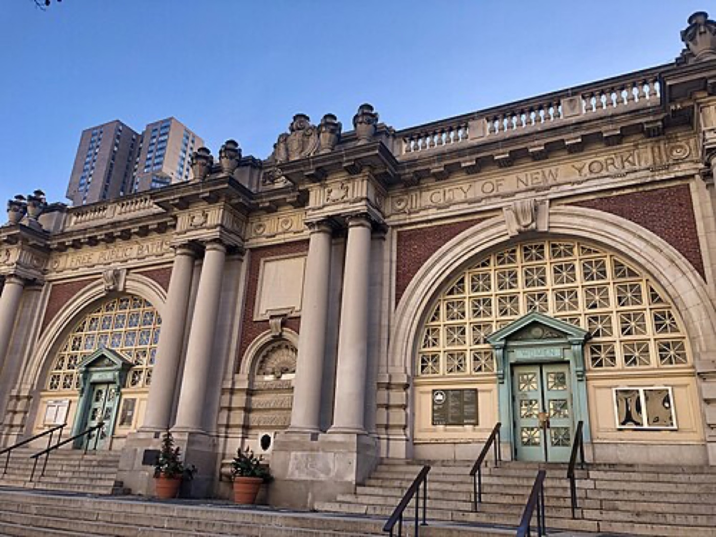 Asser Levy Playground
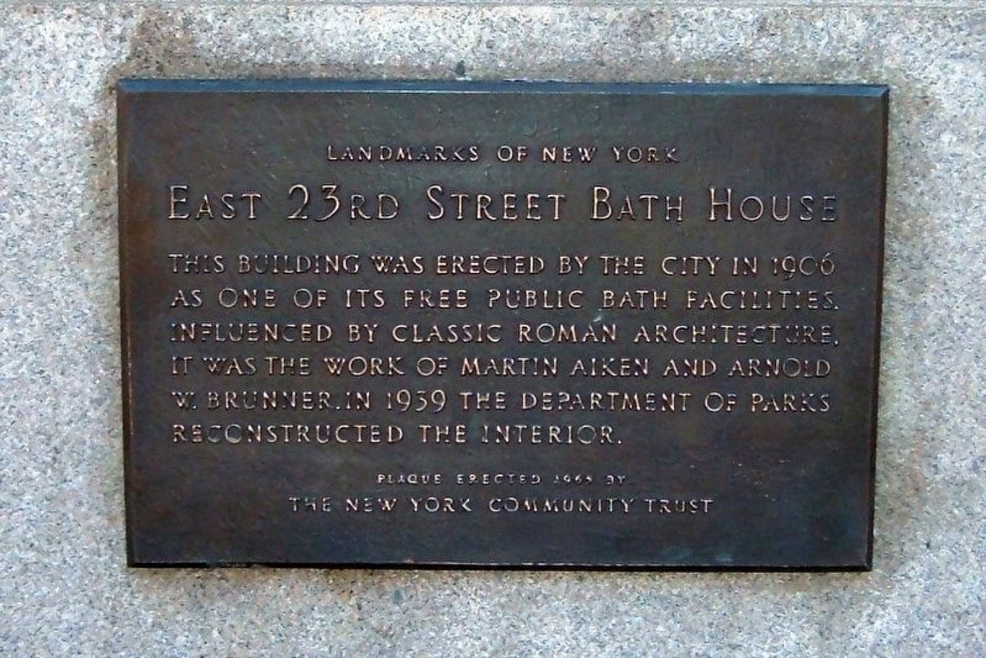 East 23rd Street Bath House
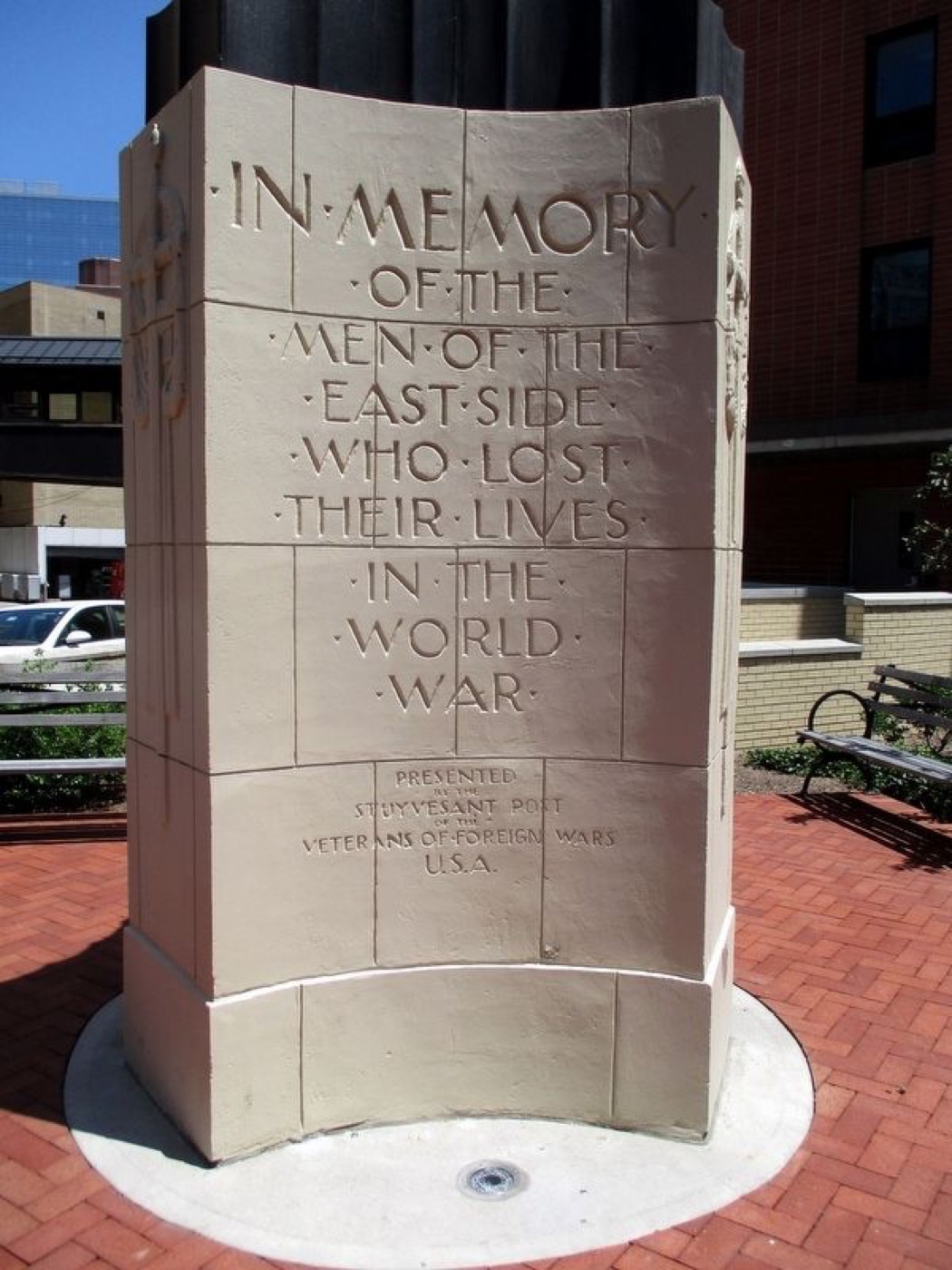 East Side WWI Memorial
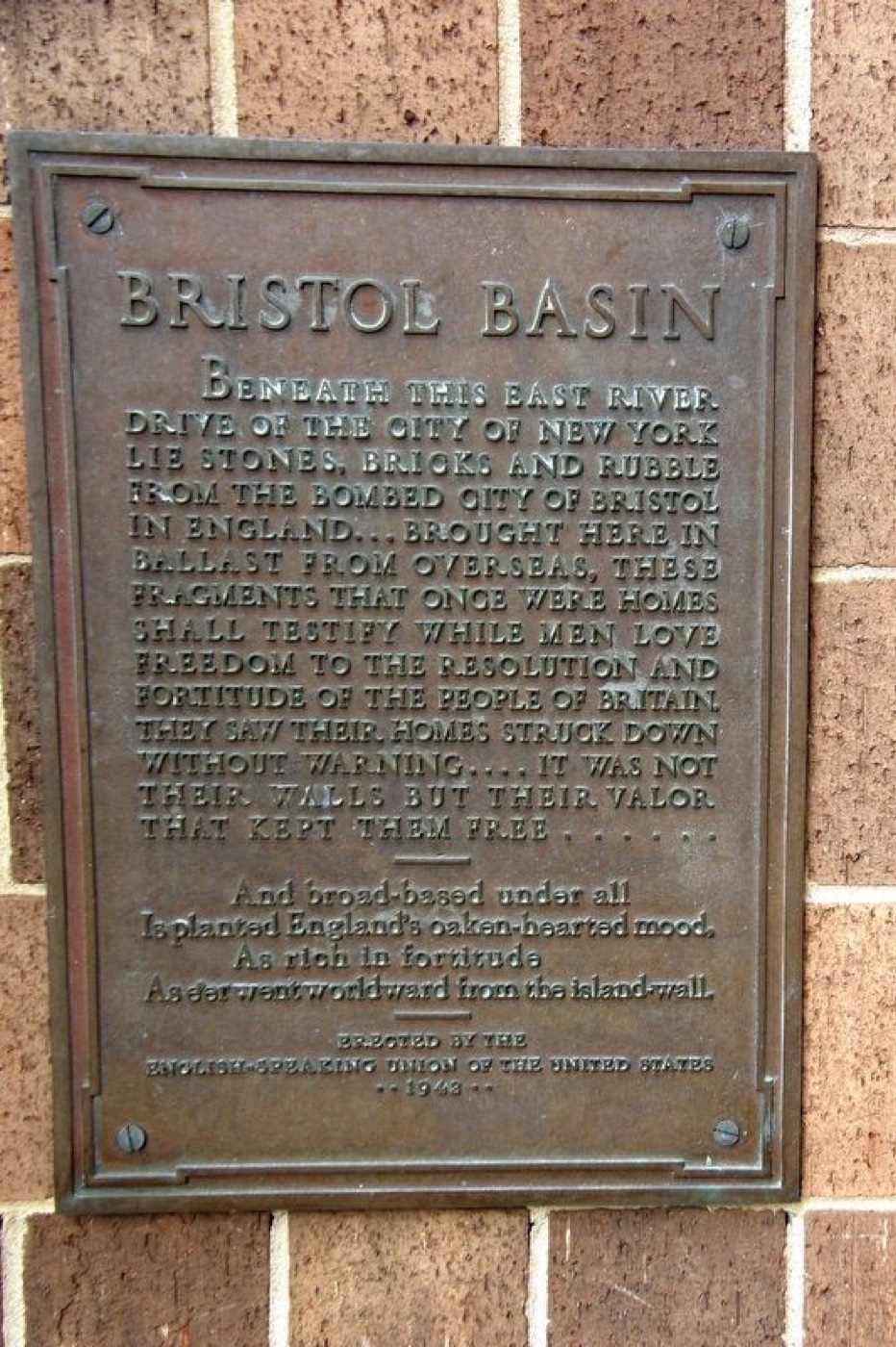 Bristol Basin
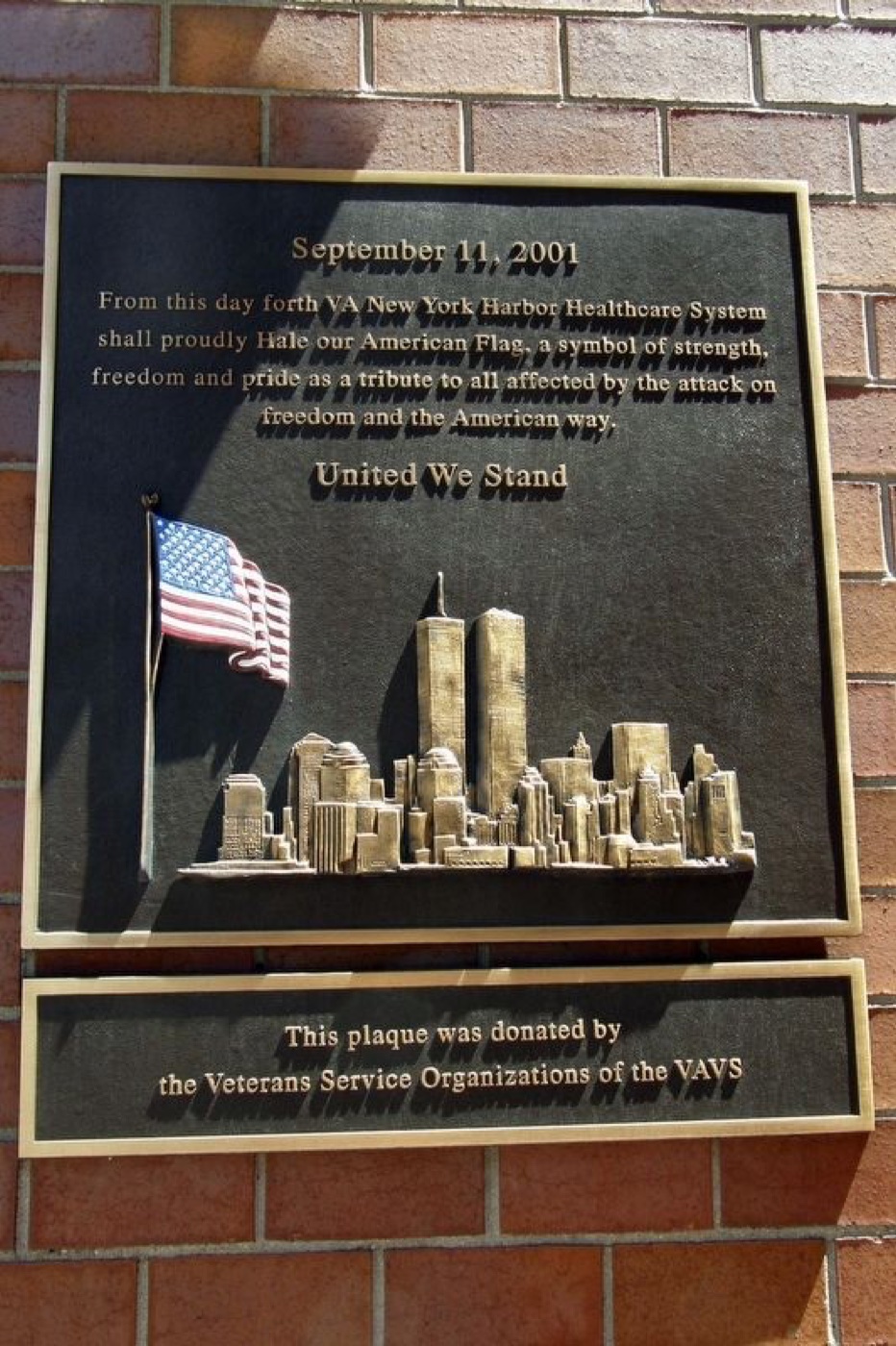 VA 9/11 Memorial
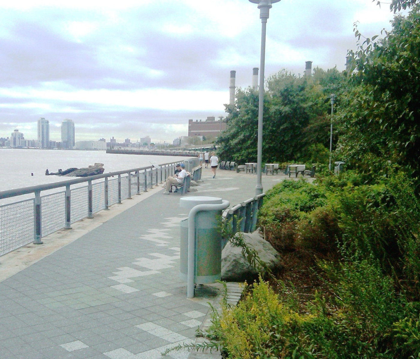 Stuyvesant Cove Park