Nature · Manhattan
The Changing Shoreline
Manhattan’s Shoreline Time Travel
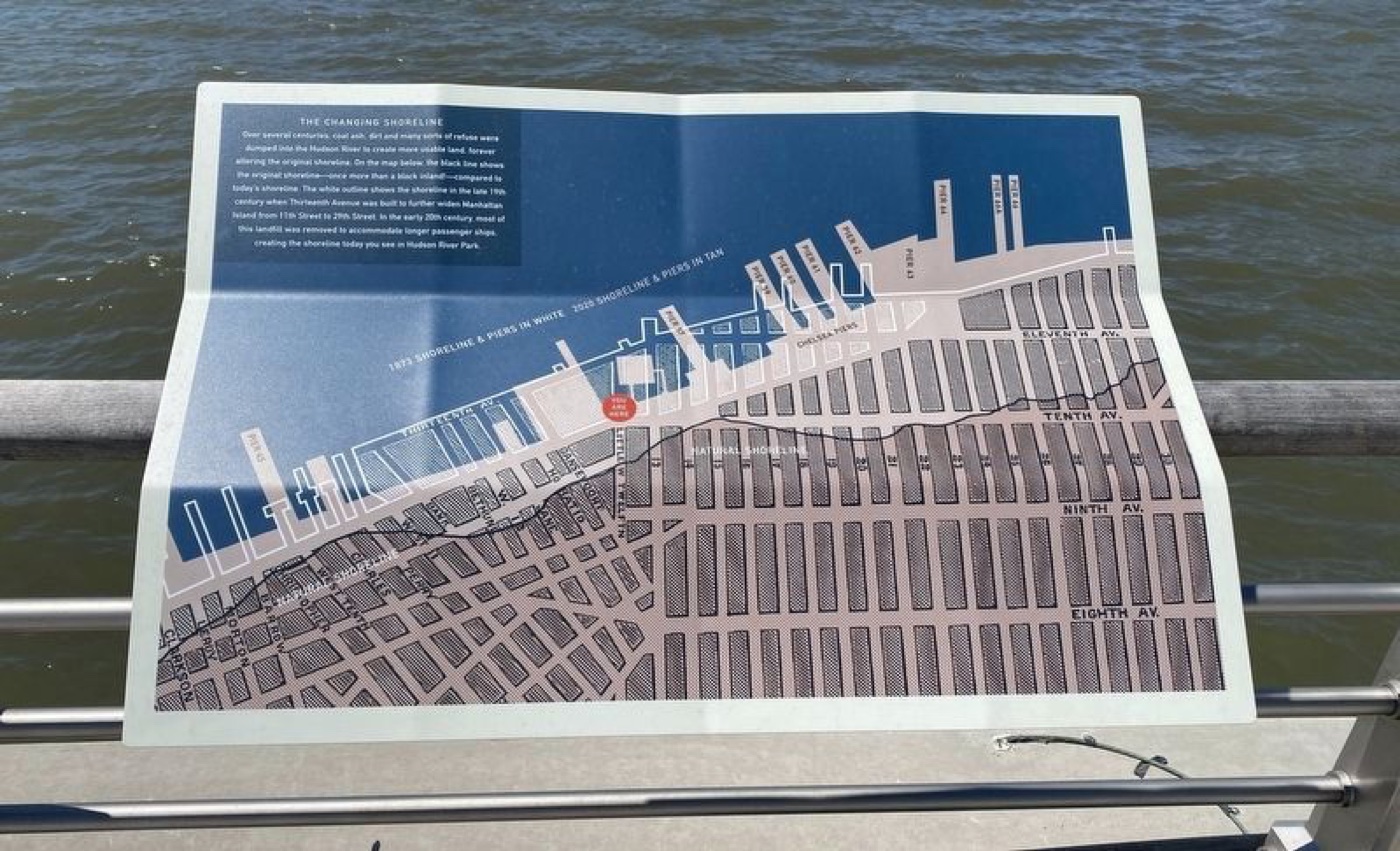
Check out how the Hudson River’s edge changed over centuries, as dirt and coal ash turned water into new land, reshaping Manhattan’s waterfront you see today.
The story
Over hundreds of years, Manhattan’s original shoreline, once more than a block inland, moved west as people dumped coal ash, dirt, and refuse into the Hudson River to create new land. In the late 1800s, Thirteenth Avenue was built on landfill expanding the island from 11th to 29th Street. Then, in the early 1900s, much of that landfill was carefully removed to allow longer passenger ships to dock. Today’s Hudson River Park waterfront reflects these dramatic changes, a tangible story of how natural landscapes evolve with human hands.
Source: HMDB — The Changing Shoreline (archived 2022)
Find it with City Ramble →Visiting
HMDB marker coordinates; viewing access unverified, Manhattan. City Ramble stops can be found from public sidewalks and parks; buildings, churchyards and museums keep their own opening hours. Open in Google Maps.
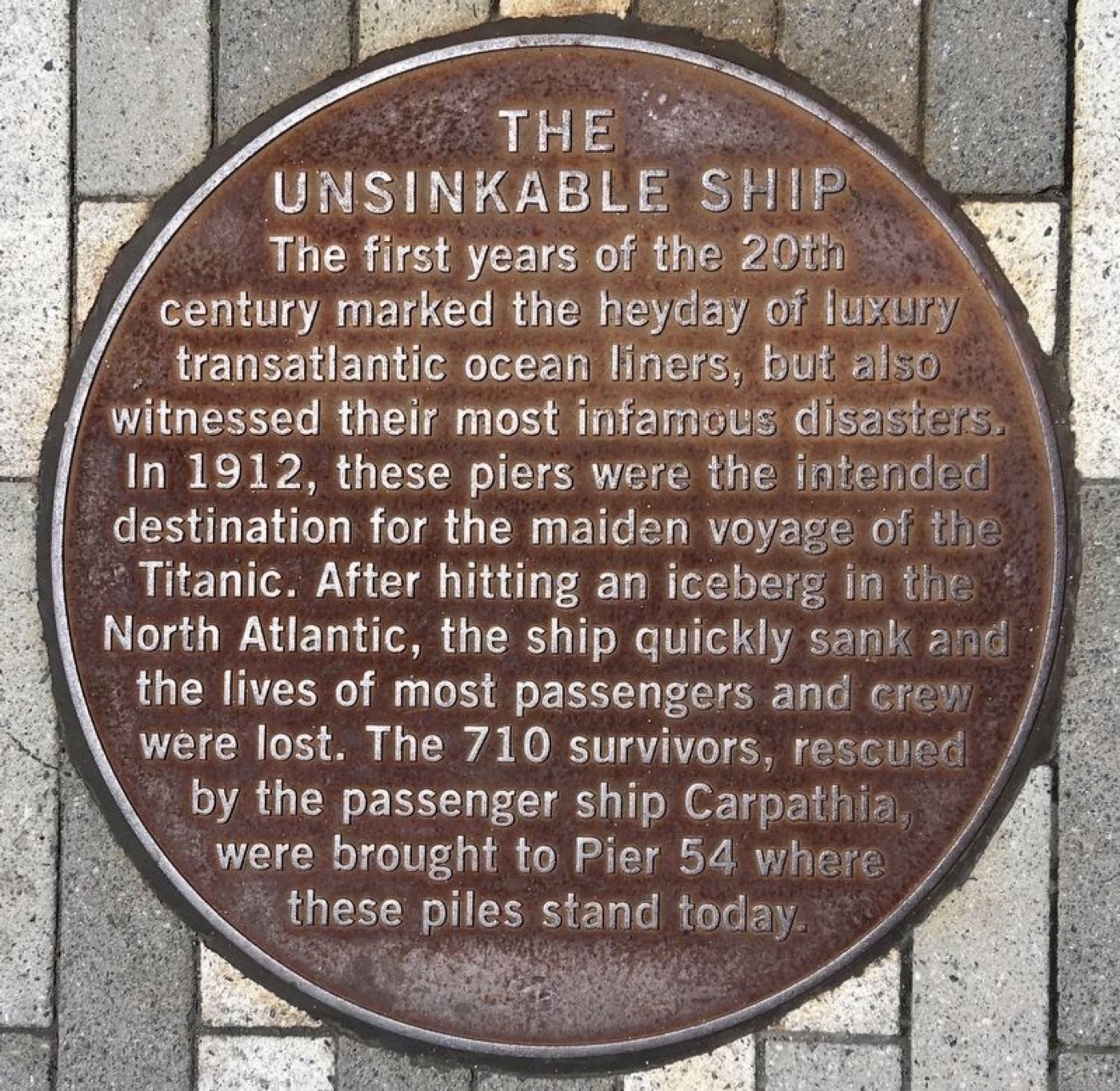 The Unsinkable Ship
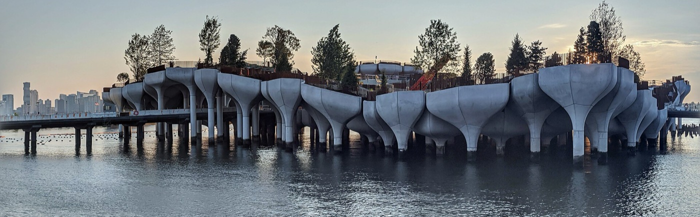 Little Island at Pier 55
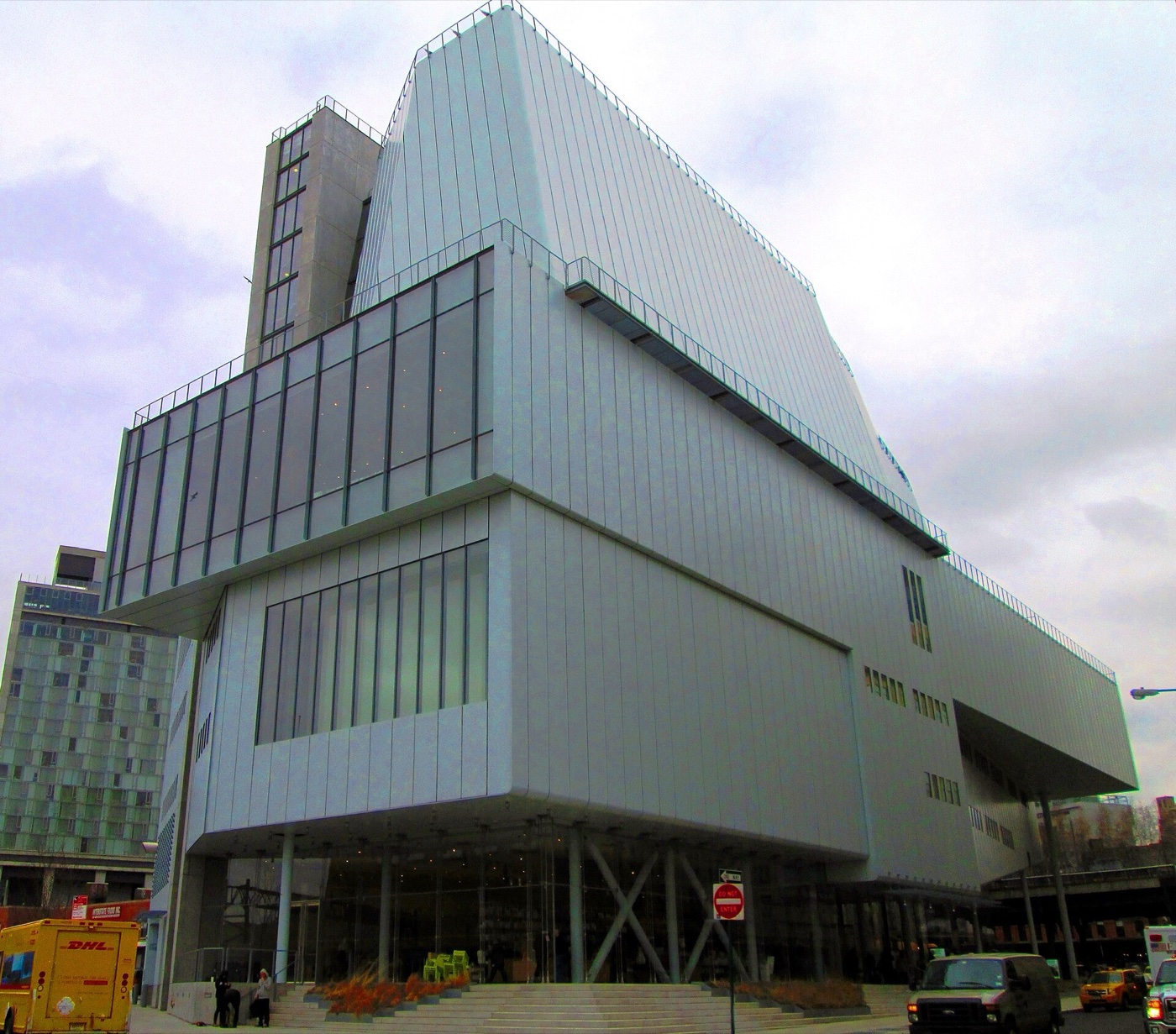 Whitney Museum of American Art
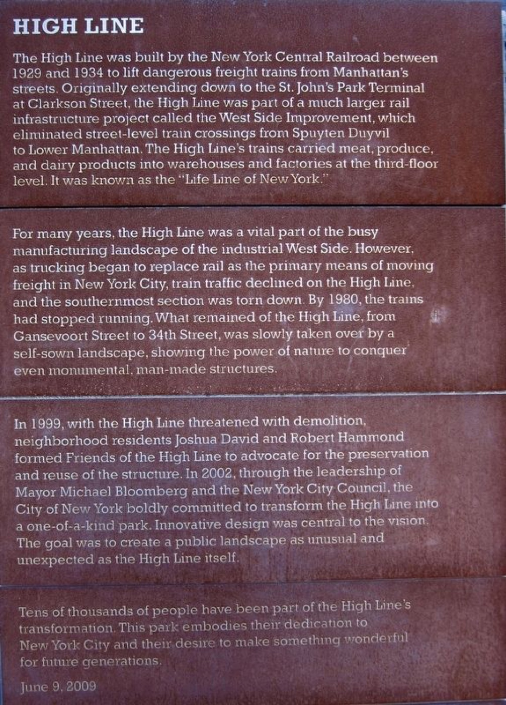 High Line
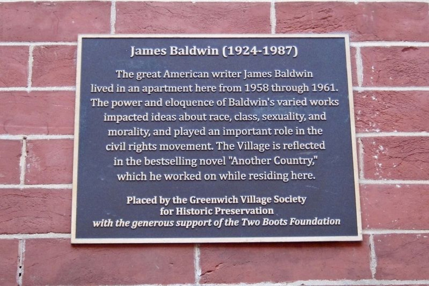 James Baldwin
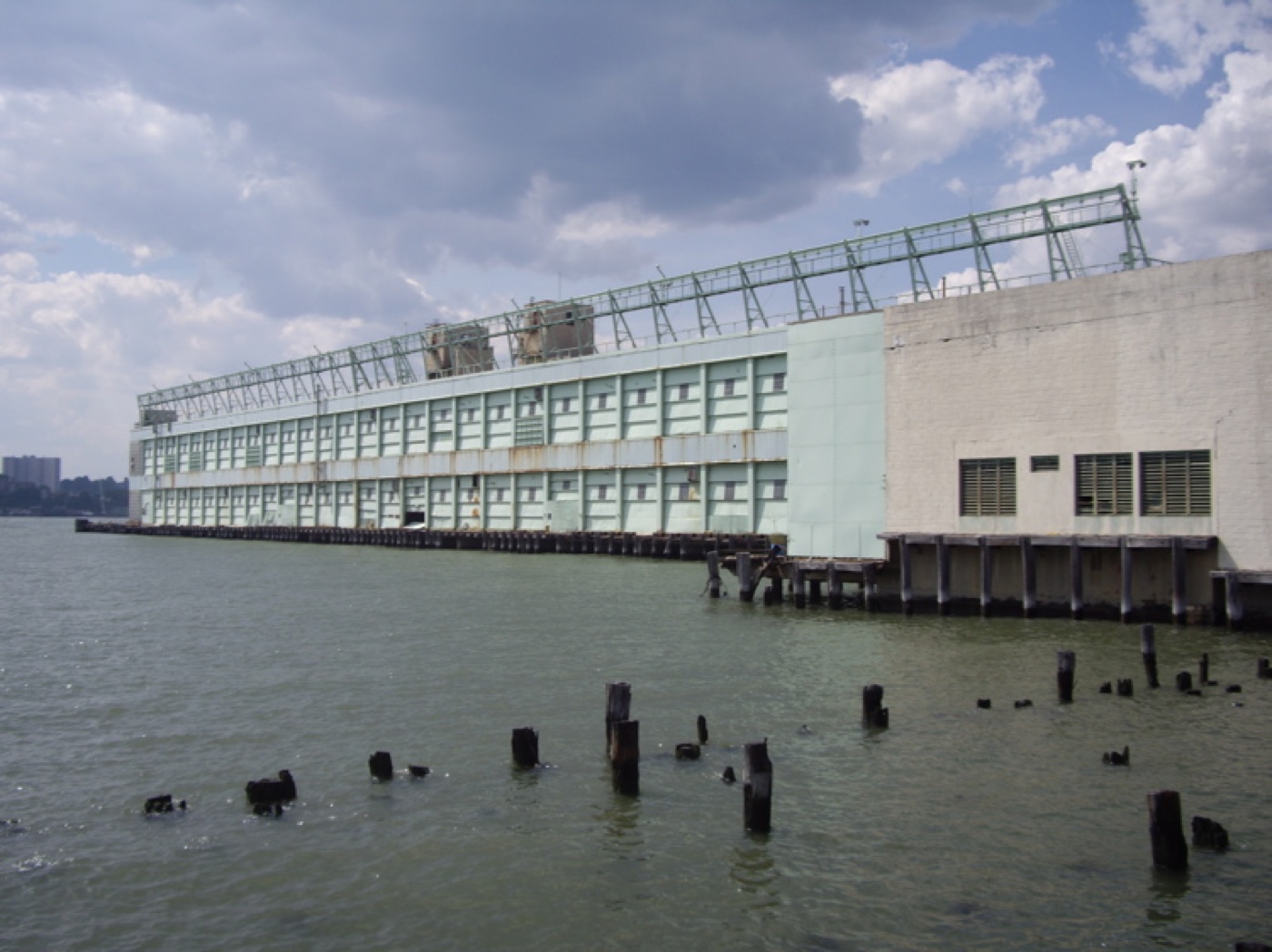 Pier 57