Art & design · Manhattan
Bulkhead Line Est. by Dept. of Docks in 1871
1871 Manhattan Shoreline in the Street
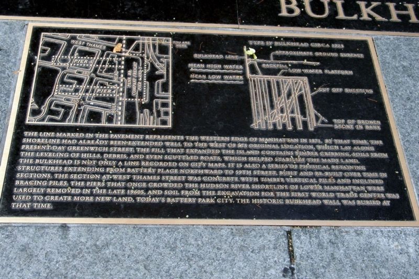
This line in the pavement marks Manhattan's western edge from 1871, tracing where the city once met the Hudson before adding new land filled with timber and even old boats.
The story
In 1871, the Department of Docks established the Bulkhead Line, a series of retaining structures marking Manhattan's shoreline boundary at that time. Although the original waterfront stood near today's Greenwich Street, the city had already pushed westward by then, using fills of timber, cribbing, soil from hill leveling, debris, and even scuttled boats to stabilize new land. This bulkhead line extends from Battery Place up to 59th Street and was rebuilt in sections, including concrete piles seen near West Thames Street. In the late 1960s, the piers along the Hudson River were removed and soil from the First World Trade Center excavation helped create Battery Park City. Today, the historic bulkhead wall lies buried beneath the modern cityscape — but its mark remains visible in the pavement for those curious about Manhattan’s ever-changing edge.
Source: HMDB — Bulkhead Line Est. by Dept. of Docks in 1871 (archived 2024)
Find it with City Ramble →Visiting
99 Battery Pl, New York NY 10280, United States of America., Manhattan. City Ramble stops can be found from public sidewalks and parks; buildings, churchyards and museums keep their own opening hours. Open in Google Maps.
Nearby
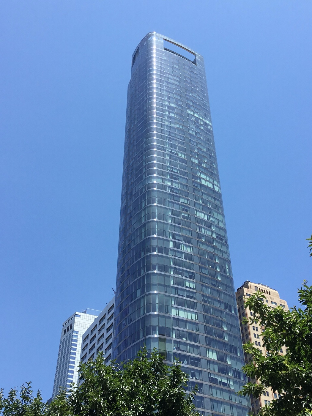 50 West Street
Architecture · about 2 min walk
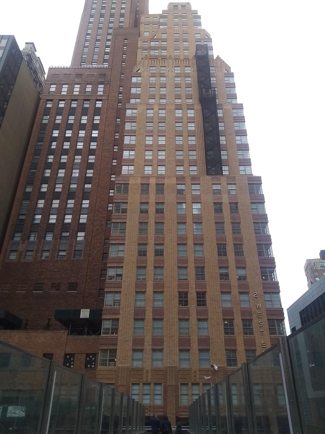 21 West Street
Architecture · about 3 min walk
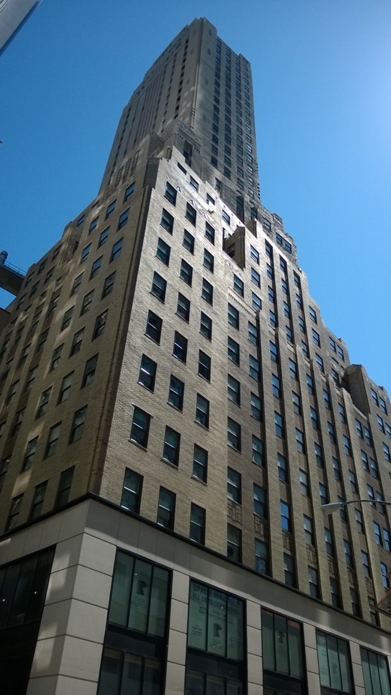 88 Greenwich Street
Architecture · about 3 min walk
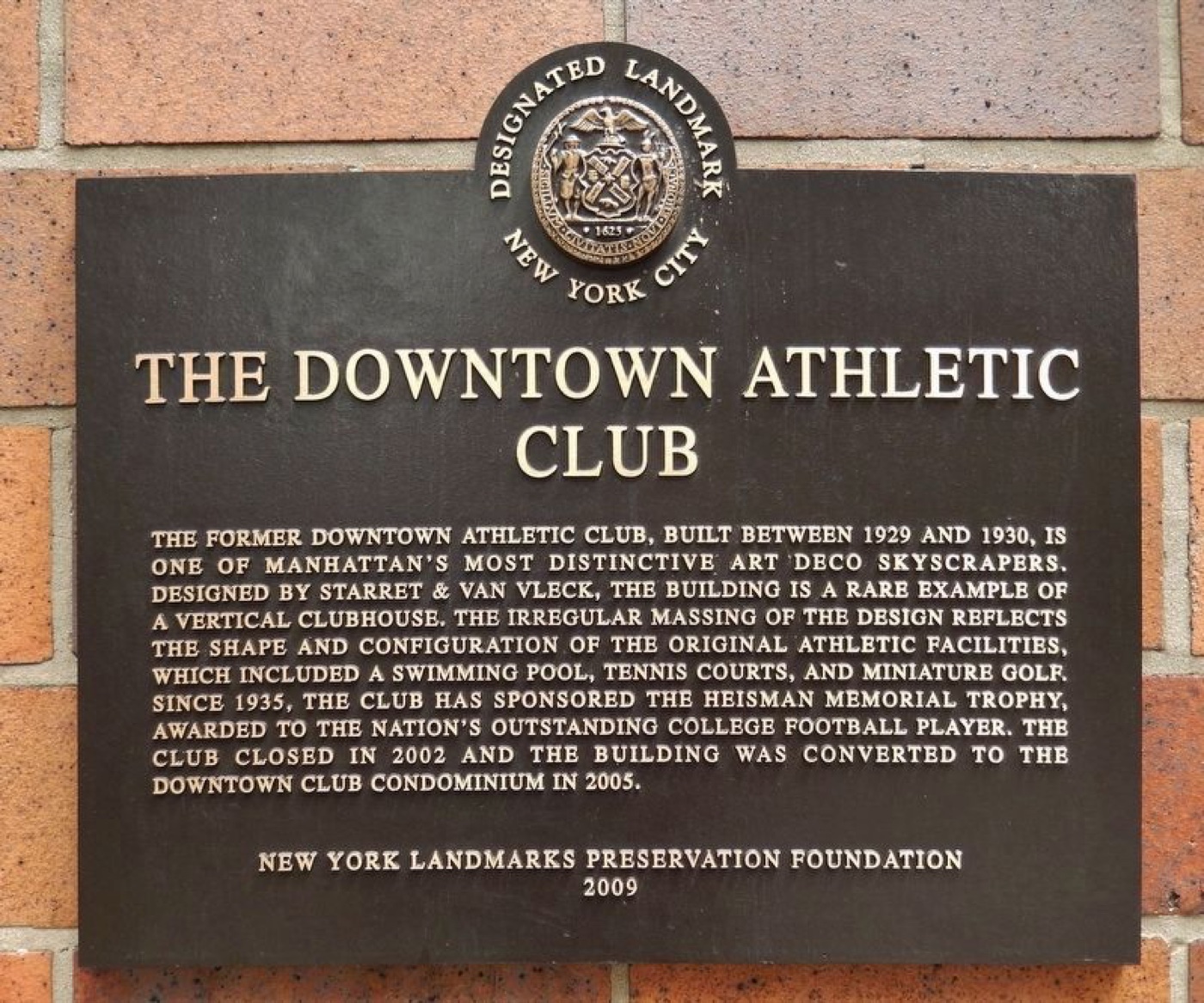 The Downtown Athletic Club
Architecture · about 3 min walk
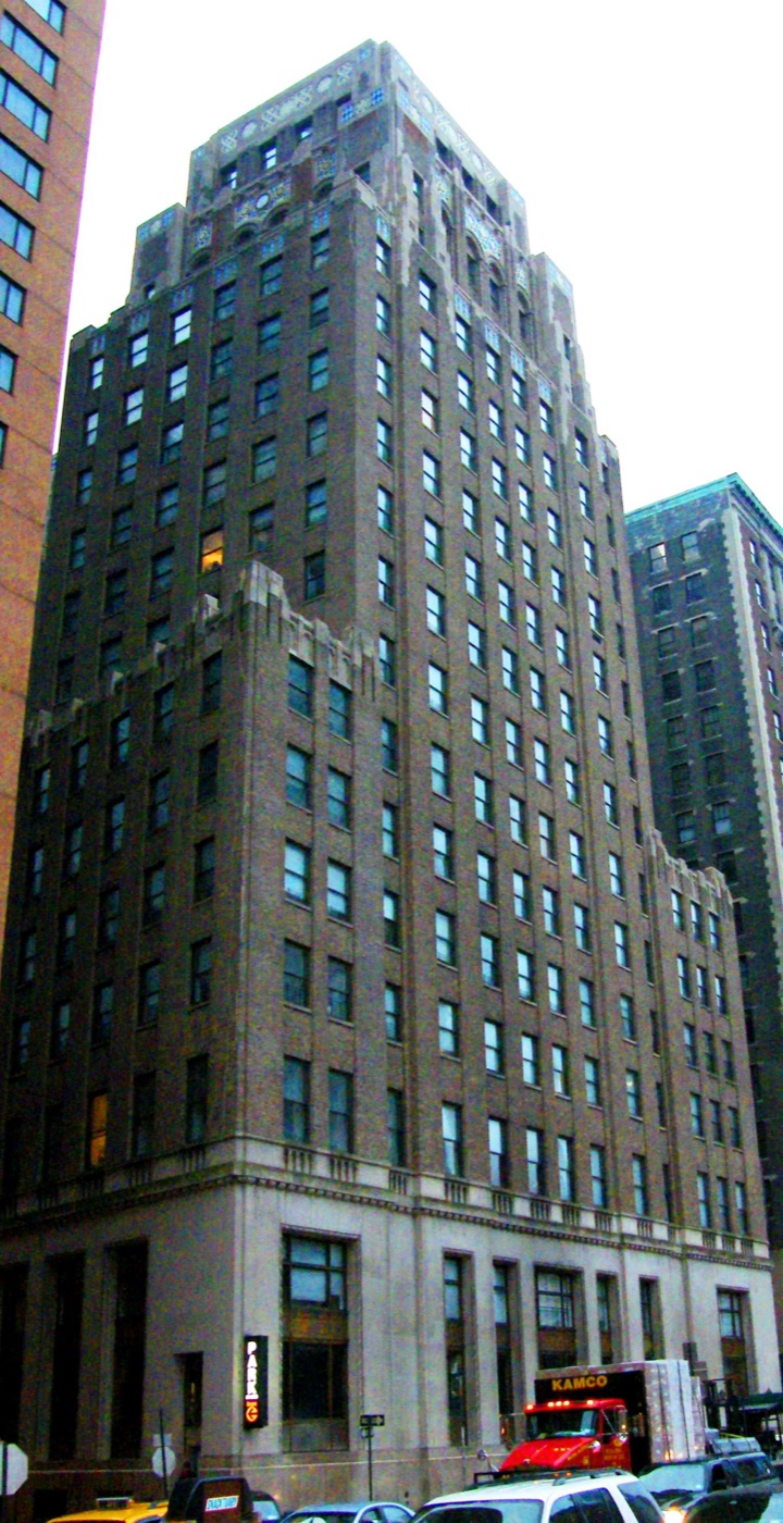 New York Evening Post Building
Architecture · about 3 min walk
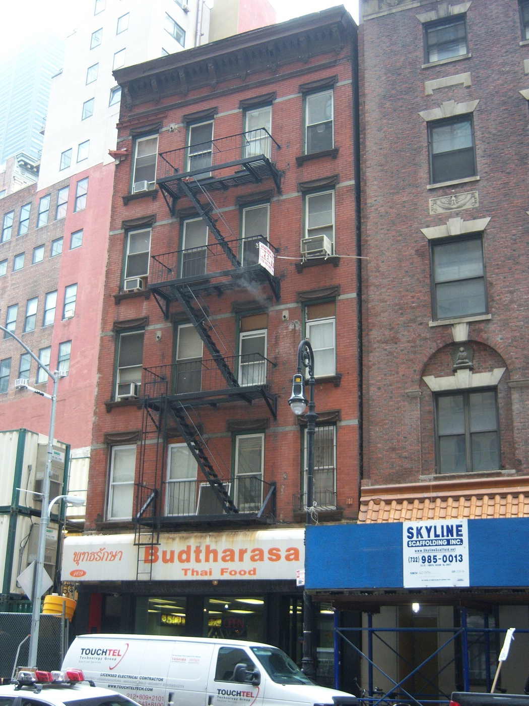 109 Washington Street
Architecture · about 3 min walk