History · Manhattan
High Water Mark
Hurricane Sandy's Rising Mark
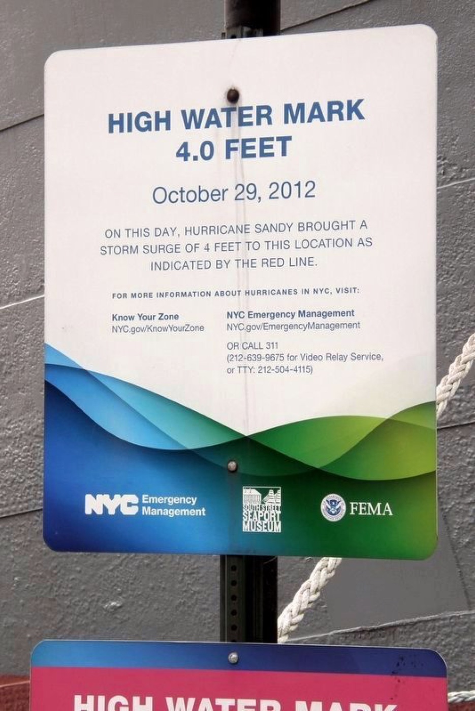
See the red line showing how high Hurricane Sandy's waters rose here—a powerful reminder of New York City's storm challenges and resilience.
The story
At this spot, a bright red line marks the exact height—4 feet—where Hurricane Sandy's storm surge reached during the devastating 2012 hurricane. Installed by NYC Emergency Management, the South Street Seaport Museum, and FEMA, this marker connects visitors directly to the moment nature tested the city’s strength. It's a vivid, measured reminder of New York's ongoing efforts to understand and prepare for such storms, inviting reflection on resilience and community safety.
Source: HMDB — High Water Mark (archived 2022)
Find it with City Ramble →Visiting
Pier 16, South Street Seaport, New York NY 10038, United States of America., Manhattan. City Ramble stops can be found from public sidewalks and parks; buildings, churchyards and museums keep their own opening hours. Open in Google Maps.
Nearby
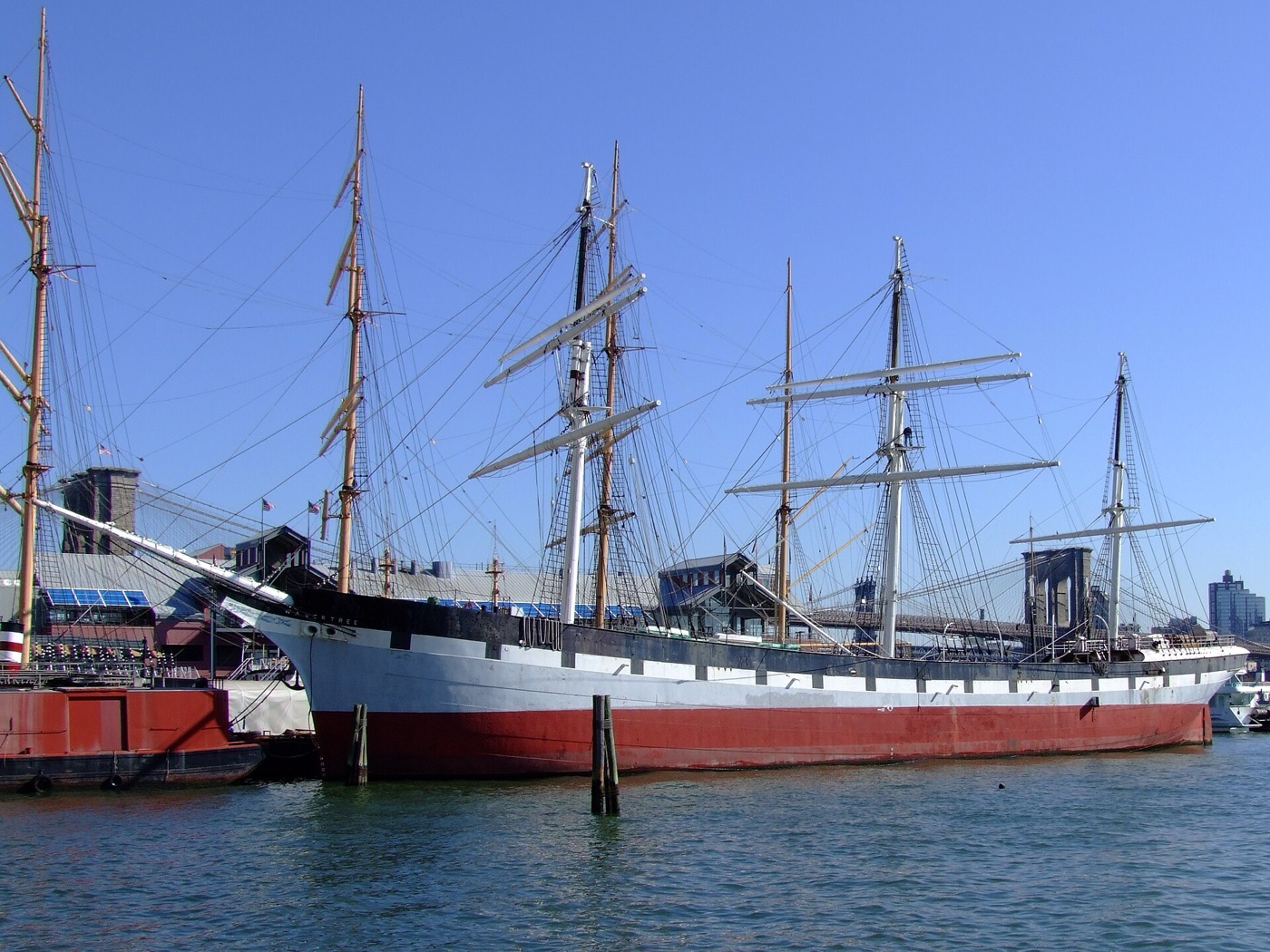 Wavertree
History · about 1 min walk
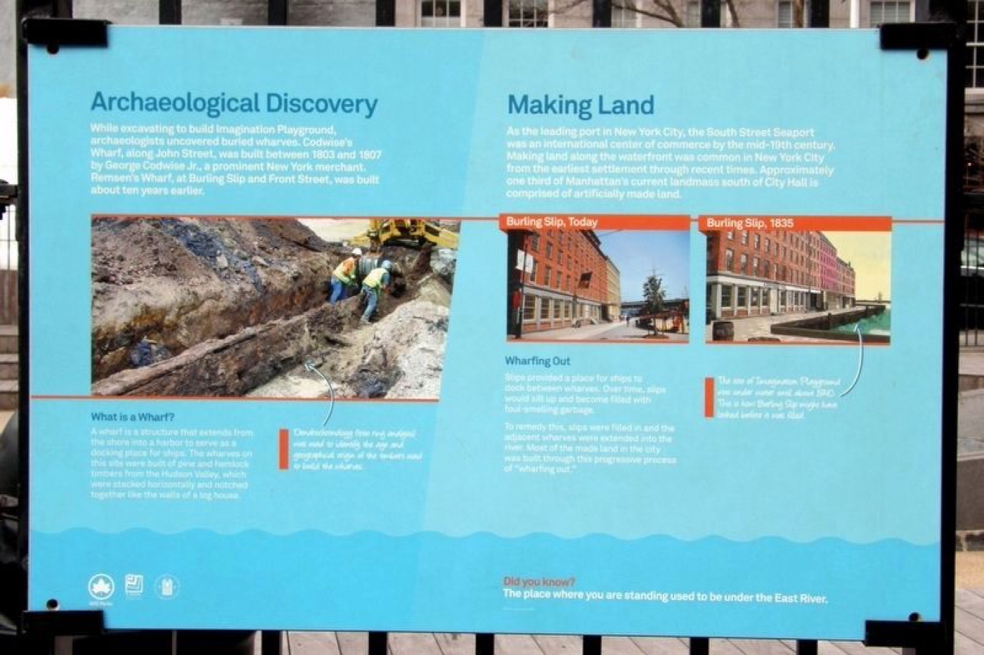 Archaeological Discovery/Making Land
History · about 1 min walk
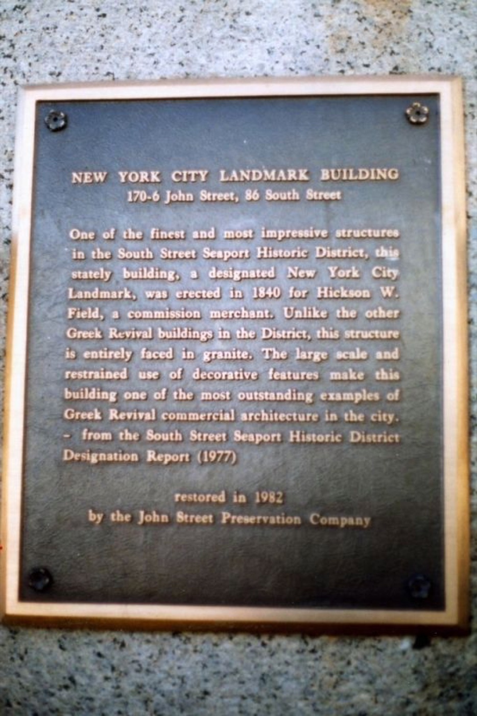 170-6 John Street, 86 South Street
Architecture · about 1 min walk
 18 Fulton Street Building
Architecture · about 1 min walk
 92 South Street Building
Architecture · about 1 min walk
 165 John Street Building
Architecture · about 1 min walk